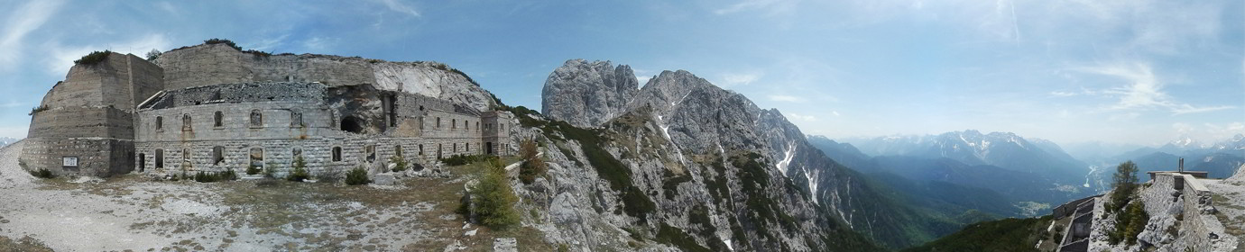
Google Maps – The Mount Carro
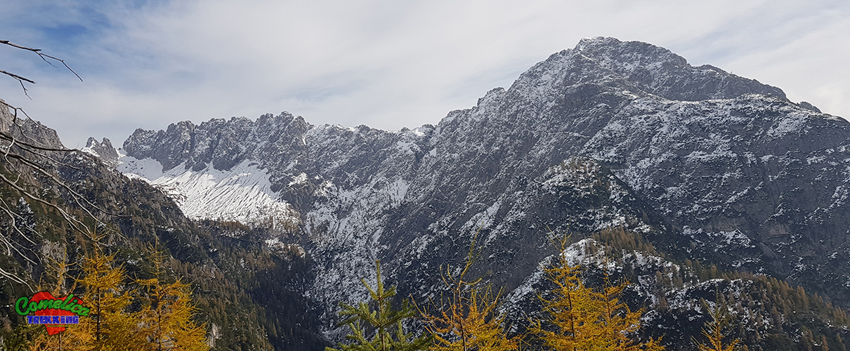
Departure from below, near the tunnel next to the abandoned Salafossa mine. Strenuous climb along the steep road on the CAI-143 trail that winds mainly through the woods along an old mule track at times. At an altitude of about 1750 msl, it comes out and the view over the Comelico valley is suggestive. When you reach the Fork Piccola you leave the path with the signpost that takes you back to Val Visdende; for the peak of Mount Carro, on the other hand, go up a rock channel on the left, overcoming a simple overhang of a few meters. At the exit you can see the luxuriant peak entirely covered with trees.