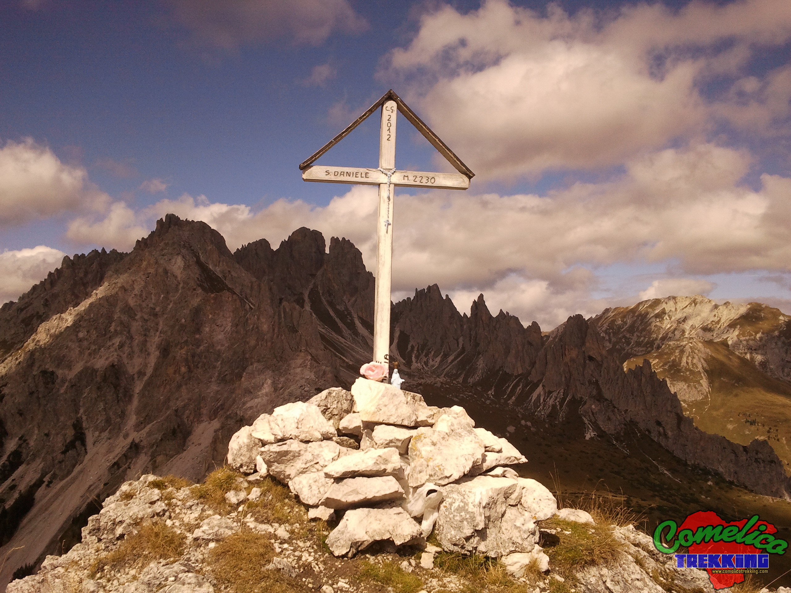
Monte San Daniele
Geographical Features
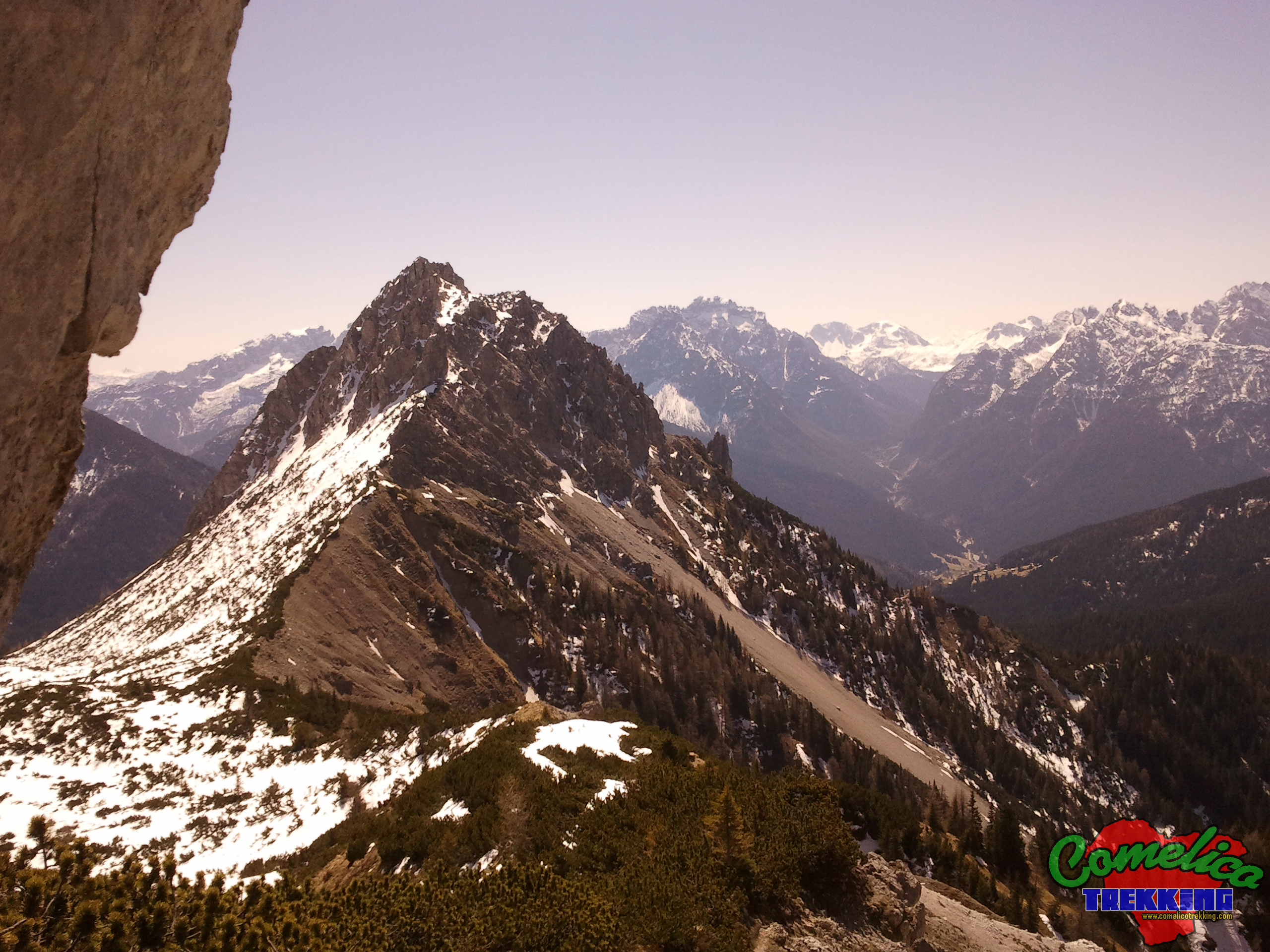
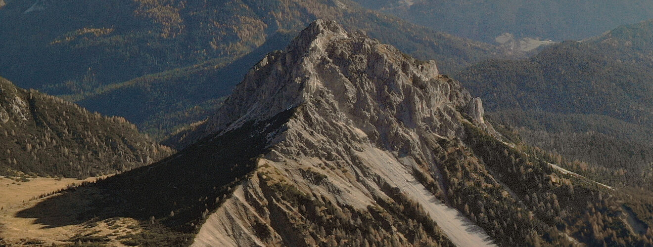
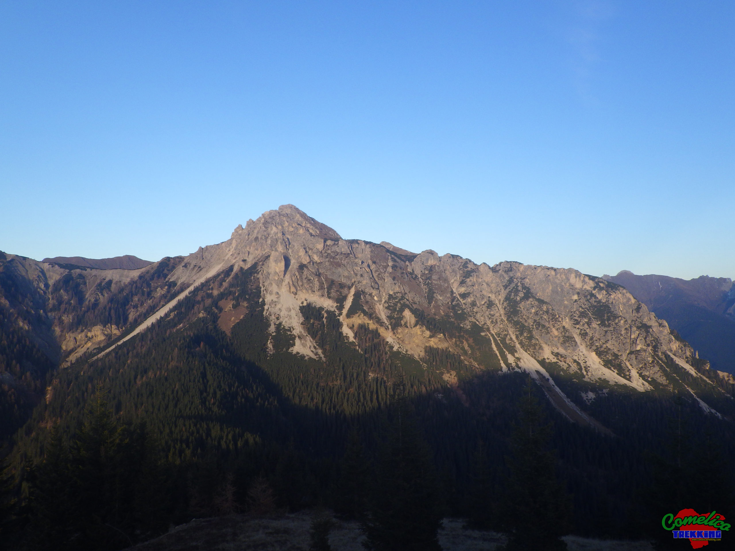
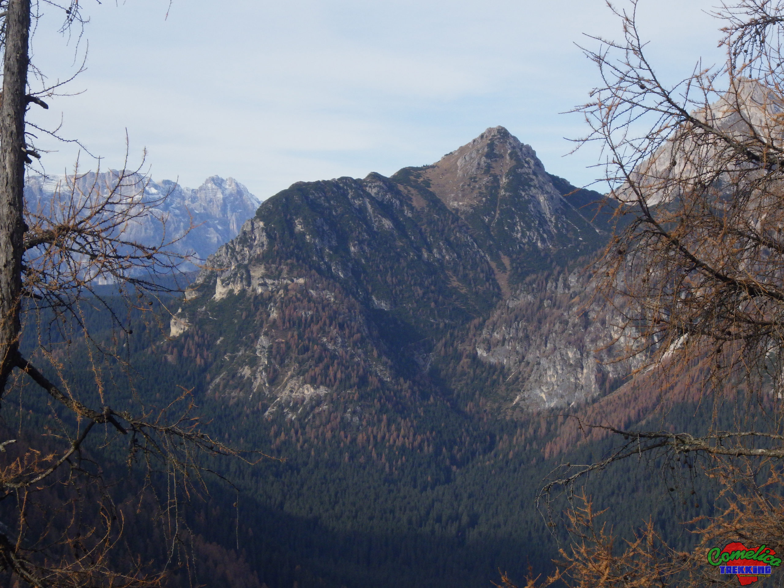
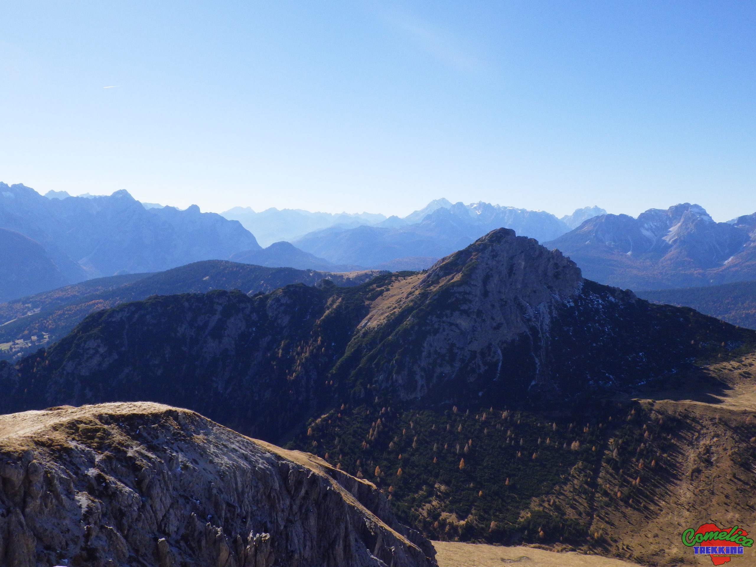
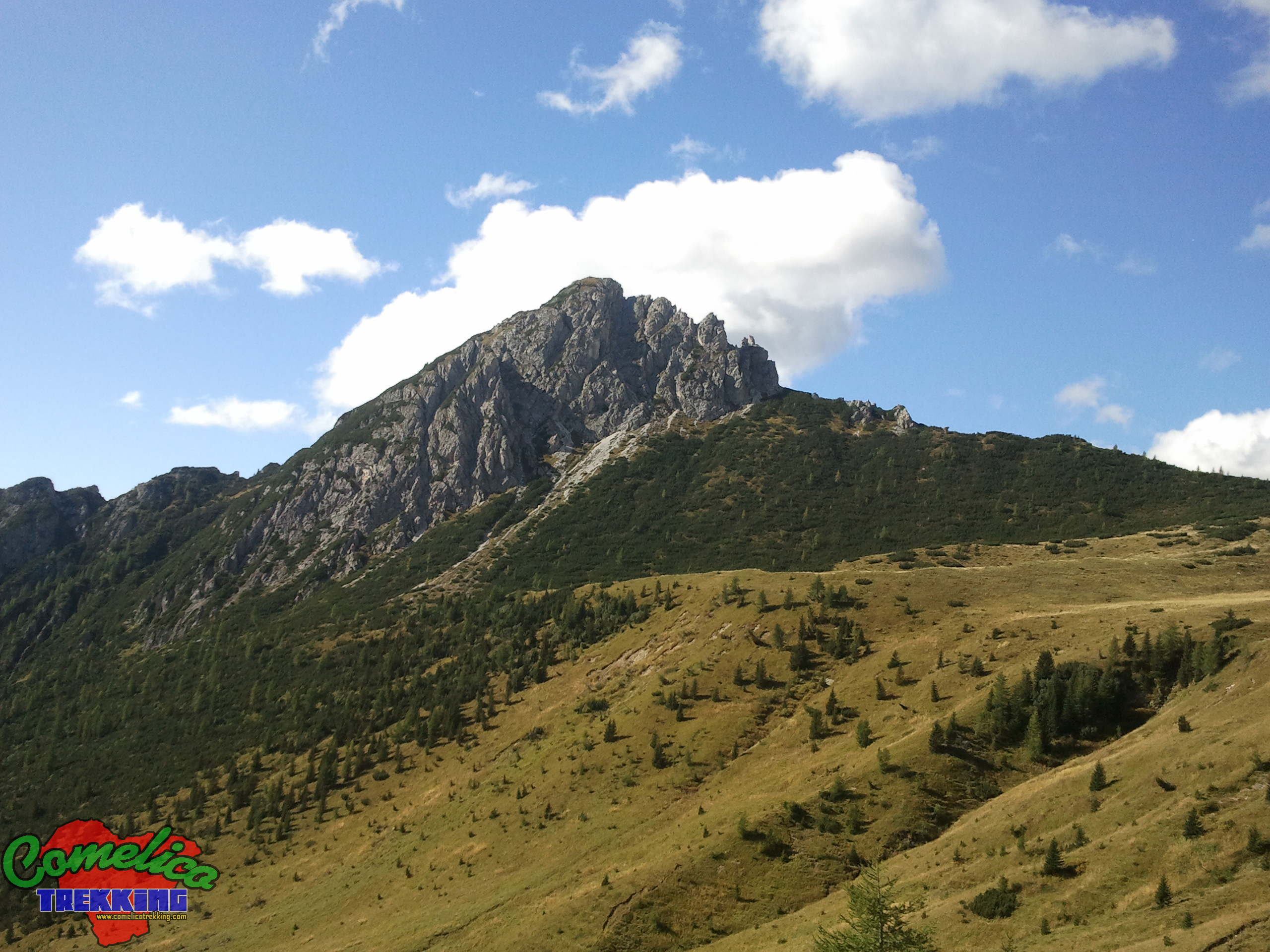
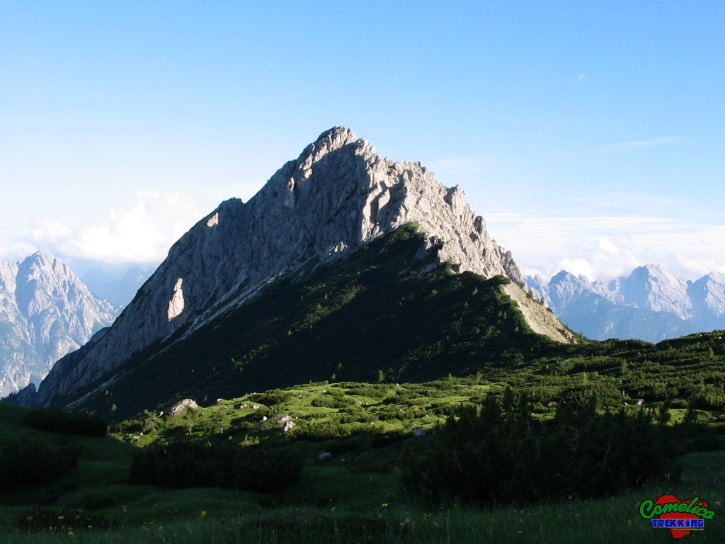
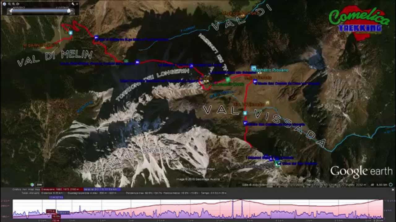
.the Peaks Monte San Daniele is part of the Central Mountain Group of Comelico together with Monte Schiaron, Crode dei Longerin, Monte Zovo and Monte Curie’. It is generally always visible from all over the territory, it has an elongated shape with a rocky peak towards the North West which reaches 2229 m a.s.l.
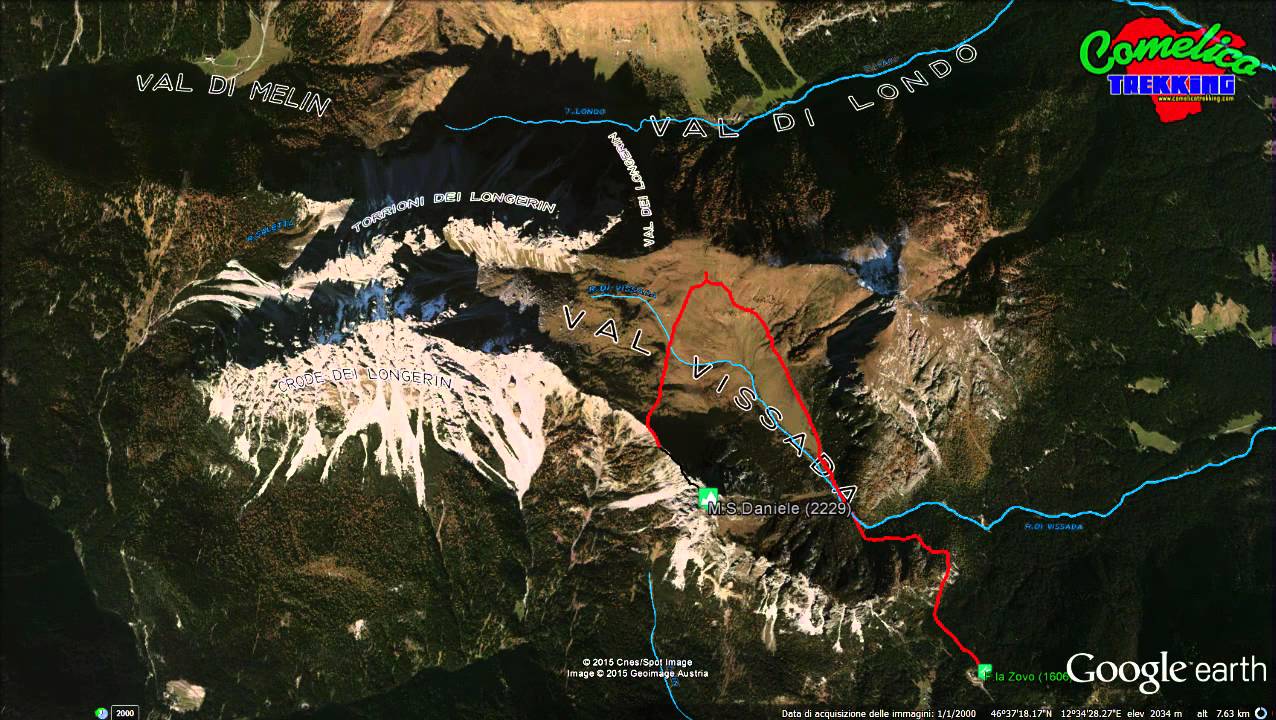
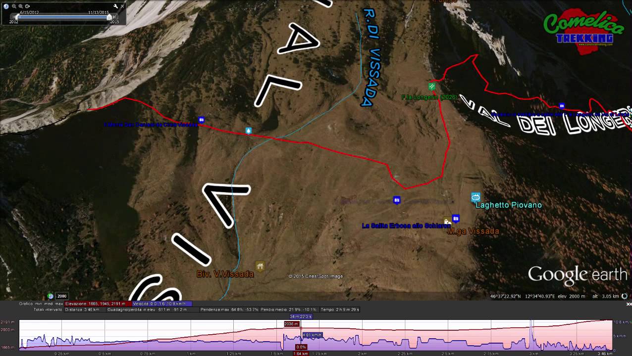
.the Valleys From North to East it forms together with the Crode dei Longerin and M. Schiaron, the Val Vissada. To the north the summit descends and merges with the ridge of Cima Sud dei Longerin, while to the southeast it forms a narrow gorge with a waterfall with Monte Schiaron. To the South, lowering to the woods, it borders with Monte Zovo and Col di Tambar, and to the West it overlooks the steep Vizza della Madonna.
.the Rivers Like its direct neighbors, Monte San Daniele has its supply of water on the side of Val Vissada, while on the rest of the perimeter it is scarce. In the South West side, from its slopes, the Rio Rin torrent arises, which runs a few kilometers before flowing into the Piave river in the locality of San Pietro di Cadore. Along the east side the mountain is crossed by the Rio di Vissada.
Political boundaries
All MonteSan Daniele rises entirely within the territory of the Municipality of San Pietro di Cadore. To the north west it delineates the border with the Municipality of San Nicolo’ di Comelico.
The Approach
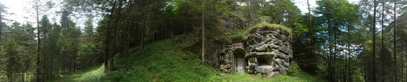
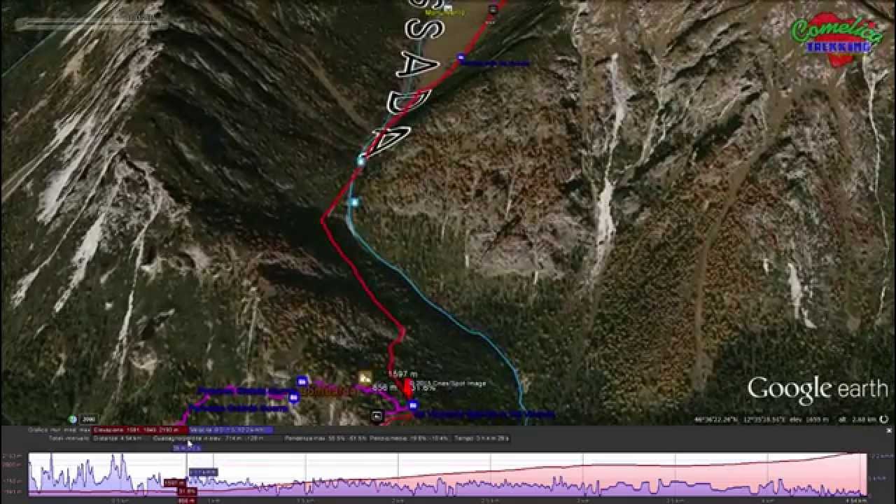
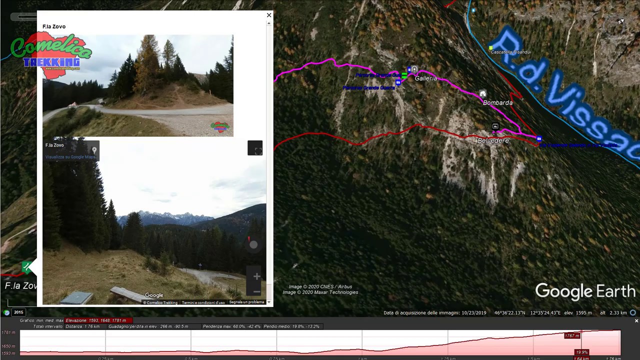
.from F.la Zovo The mountain can be approached comfortably by car. From the south side you reach F.la Zovo where there is a small parking lot and a refuge currently (2025) open. This fork can be reached in three different ways, however, starting from the built-up area of S. Stefano di Cadore. You can go up by car in about 15 minutes, covering 9.7 km, passing first through the town of San Pietro di Cadore, then crossing its hamlet of Valle and then going up along the East coast of Col di Tambar and crossing a forest of Firs along the municipal road called “Terrible”, until reaching the altitude of 1605 m a.s.l. of F.la Zovo. You can also go up to the town of Costalta in 16 min, covering 11 km, always along the asphalted municipal road you leave the hamlet of San Pietro di Cadore and you reach, along a narrow flat road, the locality of La Siega and then start going up a steep road until you reach Pramaio and immediately after Forcella Zovo. Alternatively, you can go up through the Val Visdende along 17 km in about 30 minutes. From Santo Stefano di Cadore proceed in the direction of Sappada, for SS 355 until Km 43.5, then turn left going up a comfortable asphalted road and you will reach Val Visdende (1250 m a.s.l.) in the locality of Cima Canale. We continue straight on a plateau up to the junction for Pra Marino, there we turn left still going straight to the junction for Pra della Fratta, here we turn left again and we continue up to Pra Cividella where we begin to climb along the woods and so you reach F.la Zovo.
.from S.la dei Pradetti From South-West Monte San Daniele can be tackled starting from the Sella dei Pradetti. This route first involves the crossing of Monte Zovo. You can go up from the town of Costalissoio and, after leaving your car in La Baita, continue to climb the paved and steep forest road along the Forest of Giavi until you reach (1610 m a.s.l.) and cross the Coston di Sasso Grigno (1834 m a.s.l.); from here you walk in a false plane approaching Monte Zovo until you reach the crossroads for Costa village (1896 m a.s.l.) where you descend in a north-easterly direction up to the altitude of 1757 m a.s.l. della Sella dei Pradetti, travel time 10min by car and 1h30min on foot (6.2Km and 7.7Km). At Sella dei Pradetti you can also go up from the town of S.Nicolo ‘di Comelico. By car you reach Costa, fraz. of S.Nicolo ‘, and go up through fir woods along an asphalted road until you reach the locality’ Fronta’ (1573 m a.s.l.), distance 16min-8.8 Km. Once you have left the car, go up through meadows along a dirt road up to the junction for Costalissoio, under the summit of Monte Zovo (1896 m a.s.l.), from here go down to the Sella dei Pradetti (1757 m a.s.l.), distance 1h-4.3Km.
.from P.so Palombino The mountain can also be approached from the North-West starting from Malga Melin (1663 m a.s.l.). From Santo Stefano go up along State Road 52, at Sega Digon, take the Val Digon Municipal Road on the right. Once in Cappella Tamai, continue straight up to the crossroads for the Val di Melin (11Km 17min) where you can leave your car (1458 m a.s.l.). Continue in the woods to the right in an easterly direction up to Malga Melin on a paved forest road (2km 24min). Alternatively, you can leave your car at Cappella Tamai (7.5 Km 10min) and continue by turning right, once you reach a crossroads, continue straight towards Giao Storto going up the woods along a gravel forest road with the CAI-142 sign to the hairpin bend to the Costa of Aiaredo (1602 m a.s.l.) (3.5 Km 1h10min).
.from Val Visdende Alternatively from Val Visdende you can reach the Ciadon junction by car by continuing straight to Pra Marino and, after passing La Fitta, you enter the woods and continue north until you reach the Ciadon junction (1400 m a.s.l.), having thus covered 15 Km in about 24min. Then go up to M.ga Londo (1643 m a.s.l.) for the CAI-167 trail along almost 2 km.
The Climb
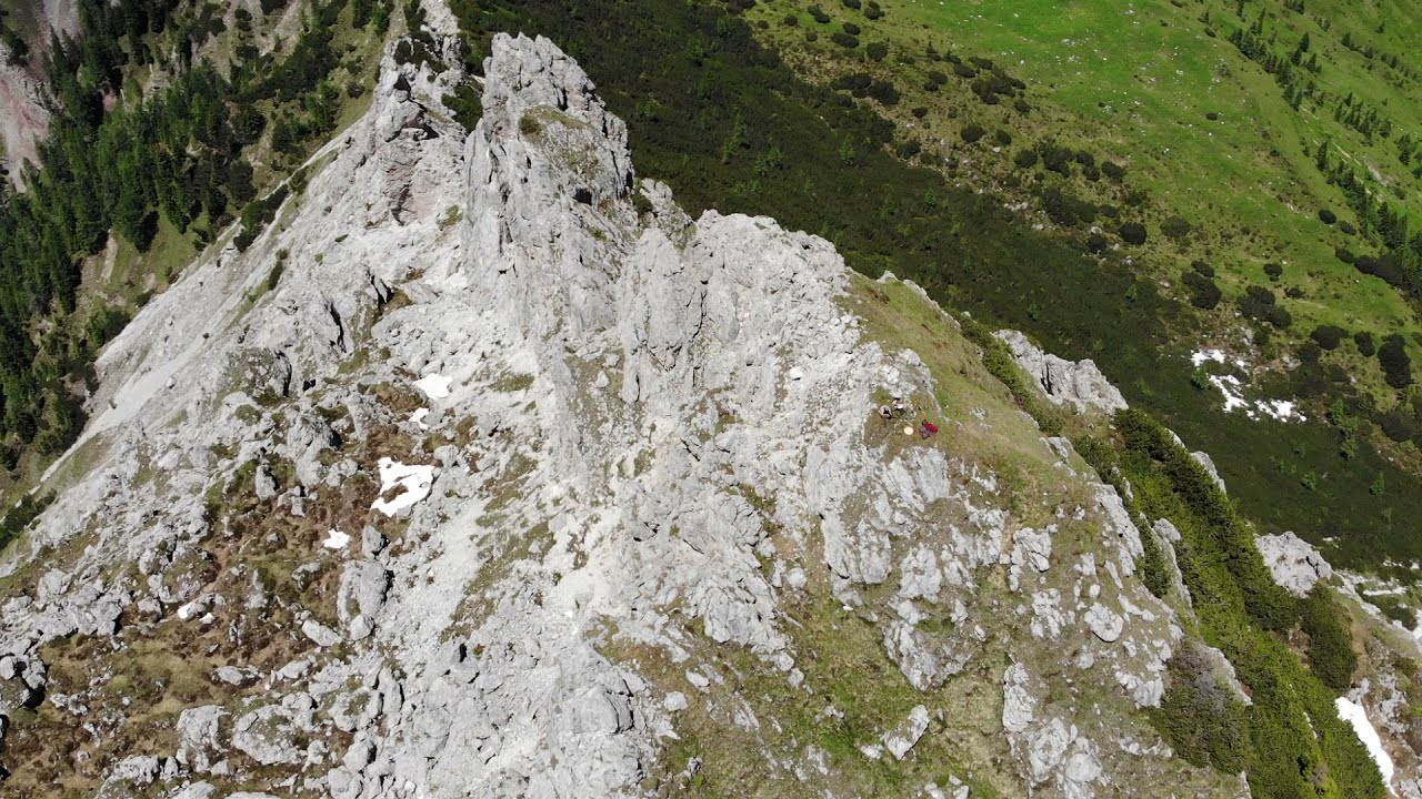
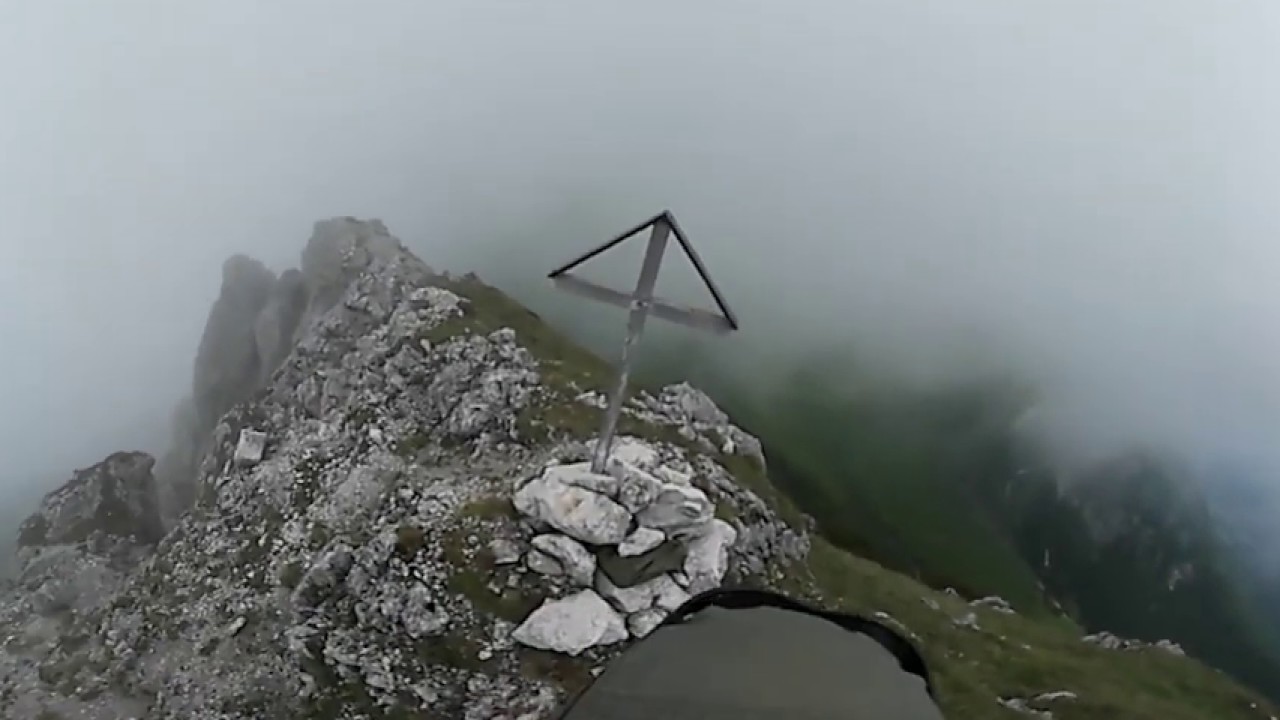
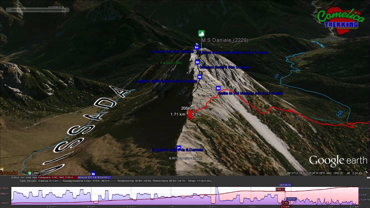
The climb to Mount San Daniele is undertaken starting from the upper floors of the Val Vissada, to F.la San Daniele where it fades with the Crode dei Longerin. You go up a rocky path not marked by the CAI flags, but only with little stone men. From F.la Zovo go up by the CAI-169 sign, from S.la dei Pradetti by the CAI-165 sign, while from the M.ga Londo follow the CAI-167 then CAI-169 sign, until F.la Longerin, and then cross the Piani di Vissada to the edge of the valley. Finally from M.ga Melin you can follow the CAI-165 signpost to F.la Longerin and then cross the Piani di Vissada to signpost CAI-165 to the edge of the valley in a South West direction and, before descending along the scree slopes, you can take the path to the Top.


- 1
- 2
- 3
- 4
- 5
- 6
- 7
- 8
- 9
- 10
- 11