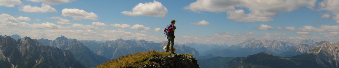
The Monte Terza Piccola Pt.2
We return to Monte Terza Piccola to photograph the new metal cross and take the 360° panoramic view with the drone. Departure from Digola Dairy and initially uphill on a forest road with CAI-313 signpost up to Digola Pass, then we deviate towards the north, taking the CAI-311 path which takes us up to the altitude of 2188 meters above sea level of the Terza Piccola Fork.
Steep and challenging climb in the final stretch, where you go through a not always stable gully. From the saddle we leave the path that continues downhill and we set off towards the west in search of the channel that will accompany us almost to the summit. Via very little signposted,
which develops in a straight line along a channel of friable rock up to an altitude of about 2243 masl where a fallen boulder blocks the passage. We can get around it by passing under it, perhaps removing the backpack, or go around it on the left side by climbing on good rock. Almost immediately after a crest of unstable rock, an obligatory passage, it separates us from the last uphill stretch through meadows.
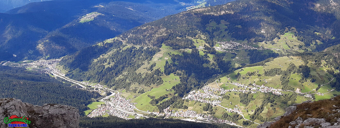
The view from the top is breathtaking on the Comelico villages, very close to San Pietro, Sappada also enjoys a good view. After shooting with the drone, we return to the car along the scenic path that runs along the ridge to the west. Very well signposted route with red stamps and certainly less dangerous, which ends at the Digola Bivouac.