Google Maps – The Danta Torbiere
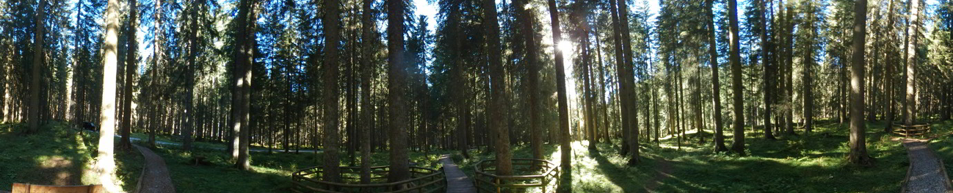
I return to complete the set to Danta, and pleasantly cross its surroundings again adding two aerial shots. The Torbiere of Danta from Drone Very interesting from the point of view of aquatic flora...
![]()
..dedicated to those who are not and who can no longer go
I return to complete the set to Danta, and pleasantly cross its surroundings again adding two aerial shots. The Torbiere of Danta from Drone Very interesting from the point of view of aquatic flora...

Stunning shots taken by my drone depicting the set of small valleys that form the Comelico valley and some nearby valleys Frison Valley Sesis Valley Ansiei Valley Piova Valley Melin Valley Digon Valley Grande...

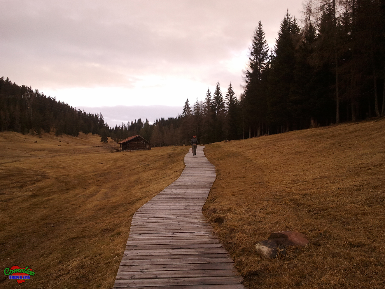
First real high altitude excursion for this 2021 season. Departure from Pian delle Bombarde at Baita Rododendro. We first reach the Olbe Lakes which we still find covered with snow, then we climb Mount...

Simple afternoon outing on Mount Spina. Leaving just above Casamazzagno in the locality of Le Federe, we set off towards the north following the CAI-147 signpost. In short we reach the 1967msldm of Mount...

Today sunbathing towards the sources of the Piave. Once in Visdende Valley we leave the car in Sesis and go up to Pass of Caneva Hill by the mule track marked CAI-137, first in...

Today we try a simple and usually not very tiring climb. Starting a little further below Hut of Londo we went up the Londo Valley up to the Palombino Pass at an altitude of...

Today we visit the Digola Pass starting from the Mare locality of San Pietro di Cadore, then going up the Mount Terza Piccola on its north side. We start crossing the Piave river on...

Excellent day for photos with long horizons. We went up to the Malga Melin to reach the top of this wonderful Valley of Vallona. Along the fairly frequented journey, we took the overview of...

Wonderful autumn day for a trip to the Longerin’s Rocks. We went up along the unknown Southern way which, instead of going up the mountain along the right side of the arena like the...

Quick ride in Sappada. Going up along the ski slopes, I first reached Refuge 2000, then along the nature trail No. 4 I went back down towards the town. Small stop to admire the...