Location
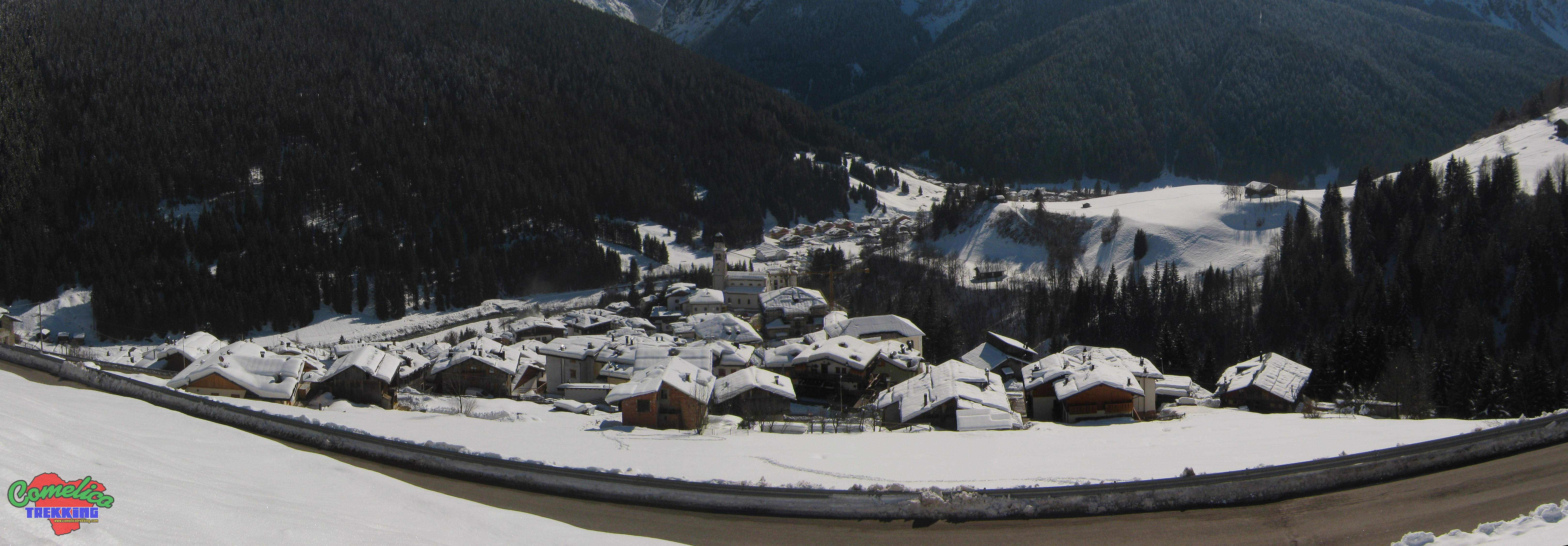
Comelico is a mountain area located in northern Italy. It occupies the northern part of the Veneto region, precisely in the province of Belluno. The territory consists of five municipalities: Comelico Superiore, for a perimeter of 50.2 Km with an altitude between 1011 and 2366 meters above sea level and has 2366 inhabitants, San Nicolo’ di Comelico, for a perimeter of 27.9 Km with a altitude between 271 and 2559 masl and has 407 inhabitants, Danta di Cadore, for a perimeter of 14.8 km with an altitude between 1022 and 1663 masl and has 514 inhabitants, Santo Stefano di Cadore, for a perimeter of 69 km with an altitude between 868 and 2518 meters above sea level and 2680 inhabitants, and San Pietro di Cadore, for a perimeter of 36.1 km with an altitude between 947 and 2559 meters above sea level and has 1719 inhabitants.
Bordering Territories
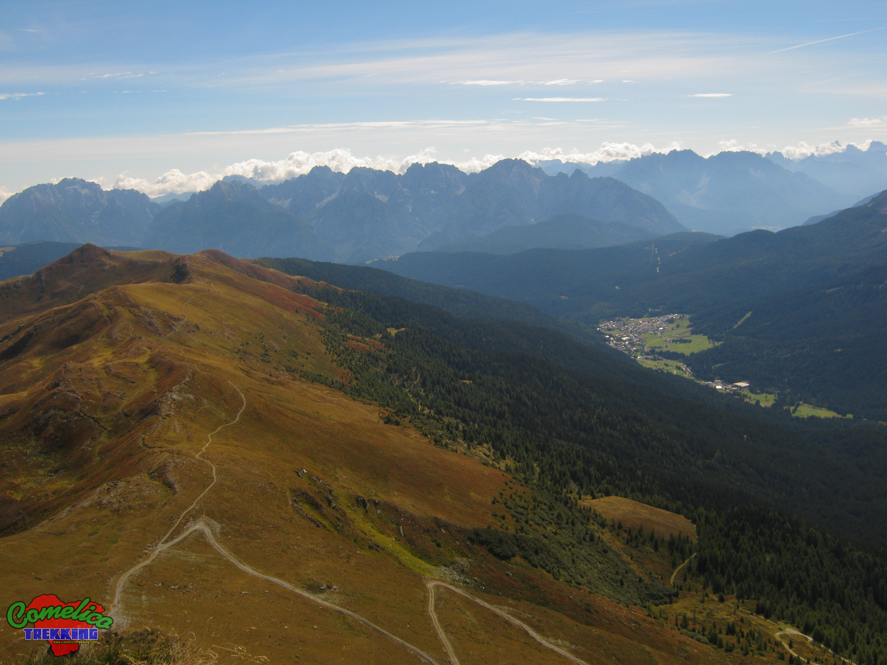
The Comelico is bordered to the South West with the Municipality of Auronzo di Cadore for 18.7 km, to the South with the Municipality of Vigo di Cadore for 12.2 Km, to the South East with the Municipality of Sappada for 43.2 Km, to the East with the Friuli Venezia Giulia region for 524 m, to the North / North West with Austria for 24.6 Km, and finally to the North West with the Trentino Alto Adige region for 11.7 Km.
Inhabited centers
Each municipality in the valley includes some characteristic hamlets or villages, namely: the Municipality of Comelico Superiore includes the hamlets of Padola, Dosoledo, Casamazzagno and Candide, as well as the villages of Sega Digon and Sopalu ‘; the Municipality of San Nicolo’ di Comelico includes the hamlet of Costa and the villages of Gera and Lacuna; the Municipality of Santo Stefano di Cadore includes the hamlets of Costalissoio, Campolongo and Casada, as well as the villages of Campitello and Pezzecucco; the Municipality of San Pietro di Cadore includes the hamlets of Costalta, Valle and Presenaio, as well as the township of Mare, and finally the Municipality of Danta di Cadore does not include any fraction.
Viabilities
The whole of the Comelico valleys can be reached from the following main roads: State Road 52 connects Comelico to the south with Cadore and Belluno, with possible outlet also towards the Ampezzo valleys via Regional Road 48, and to the north with the Pusteresi valleys of Trentino Alto Adige, while the Regional Road 355 connects it to the east with the Carniche valleys of Friuli Venezia Giulia. As far as the internal viability is concerned, the Provincial 30 “Panoramica” runs horizontally across the central territory, connecting the various villages with a view from 1200 meters above the surrounding rocky groups. The Provincial 6 leads to Danta di Cadore and continues flat until it crosses the Provincial 532 of the S.Antonio Pass, a step that connects Padola to Auronzo di Cadore. Provincial road 17 climbs from Presenaio to San Pietro di Cadore, while Provincial road 18 descends from San Nicolo ‘di Comelico to take State Road 52.