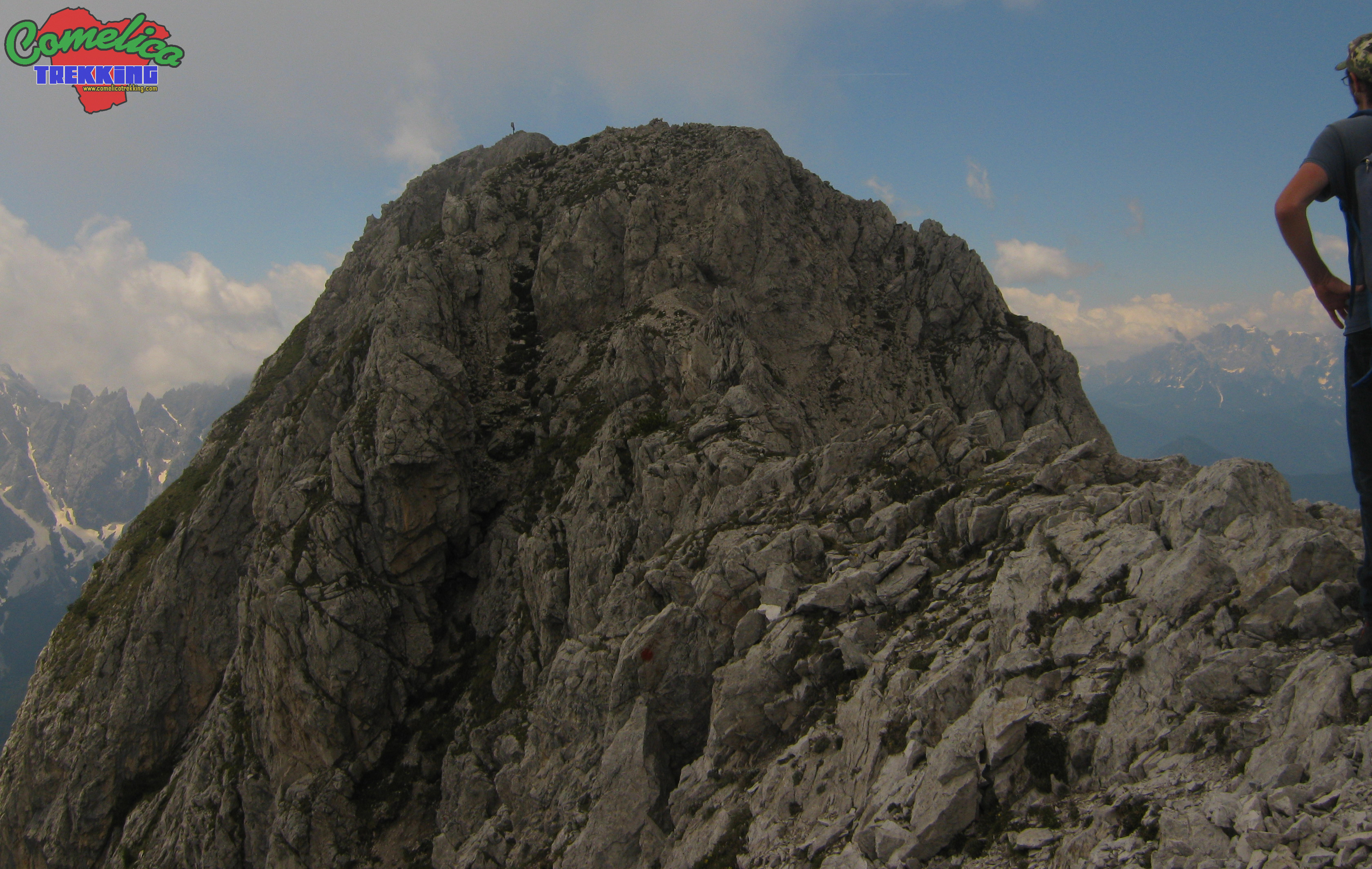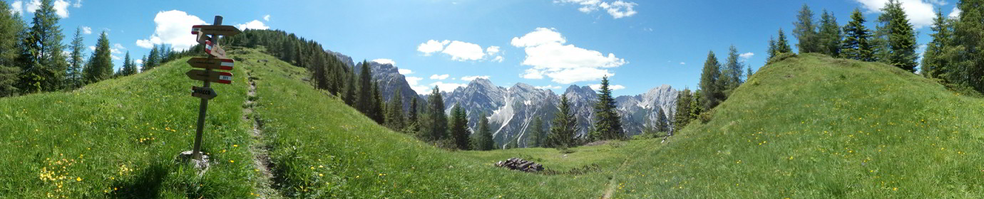
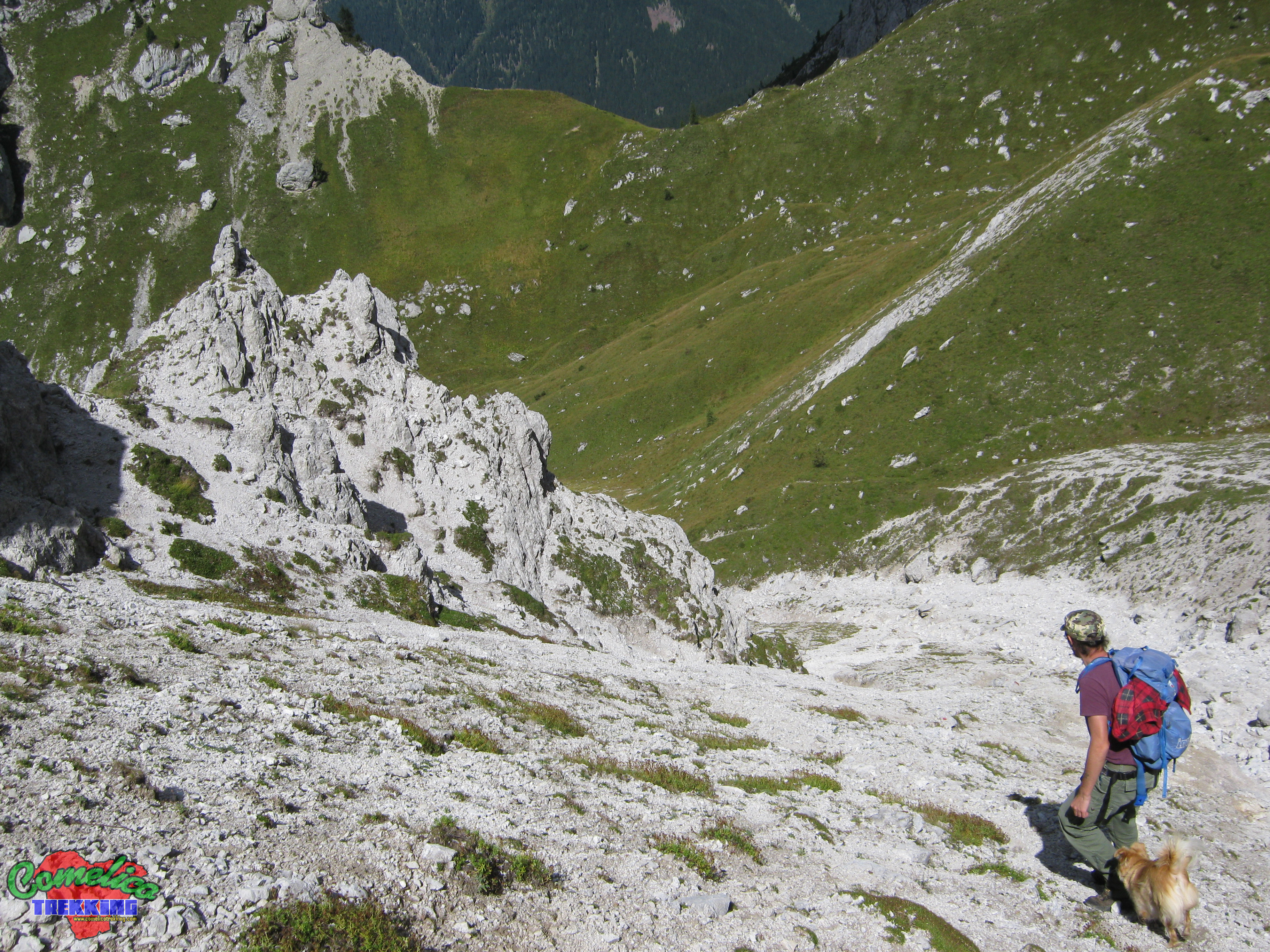
My name is Martin, Cevo for friends. I was born and currently live in Comelico, an extraordinary set of valleys with almost 8000 inhabitants. For the last twenty years I have followed the technological world in the telephone and IT fields with great passion, both in the security of Windows systems and in the creation of complete mediacenter stations for viewing multimedia content such as images, music and videos, and as an Internet Access Point / Station. In addition to this, I like to go hiking in the woods and in the high mountains. From an early age I walked on the Col di Tambar with its forests and mushrooms … but also in Val Vissada reaching the simple top of Schiaron, or of Monte Curie’. Gradually I widened the boundaries towards the Olbe Lakes, the descent from Malpasso, on ‘in “Pera Biencia”, the Boundary Line to explore almost all the Ring. In 2010, thanks to the purchase of a smartphone, I said to myself:”why not combine these two passions?” So I started recording the routes that I did every Sunday. At the beginning I was not able to obtain great results, also because it is necessary to document for a long time on the functioning of the terminals to optimize performance and preserve battery life, and also because GPS communication needs a bit of theory. After almost five years of recording I have accumulated a nice “swag” of data that I would like to somehow publish. Here we go back to the beginning .. Google Earth presentations, html and javascript code pages and on … After a proper break-in I managed to put together these pages that I intend to keep up to date by adding contents and sections of tourist and landscape interest.