Google Maps – Mount Aiarnola

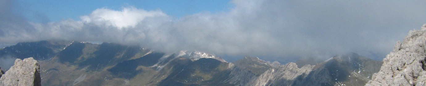
I add to the spherical images for Google Street View the photo of the top of Moun Aiarnola, which is not a very simple peak due to the unstable rock.
EDIT 2022: Climbed from Padola along the steep CAI 125 path that leads to the Fork Valdarin. Steep and uncrowded climb, starting near Lake Aiarnola. After a short stretch in the woods, you come out among the pines and gravels until you cross the CAI path 153 coming from the Piovan bivouac. From then on the slope increases considerably and the track to follow disappears. Having cut the scree to the right, I enter the gully that leads straight to the crest fork. Then I continued to the top and I descended along the normal route, marked CAI 127. Path of ascent inside the channel very dangerous, due to recent debris flows, slope, brittle rock and some narrow forced passages. It is very difficult to avoid falling stones while passing, you can get the Valdarin by paying a lot of attention, a route strongly discouraged for the less experienced..