Google Maps – Peak South of Longerin’s Rocks
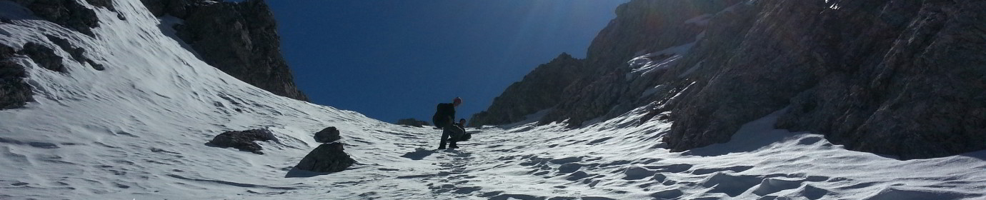
Wonderful autumn day for a trip to the Longerin’s Rocks. We went up along the unknown Southern way which, instead of going up the mountain along the right side of the arena like the normal way with CAI 169-165 signpost, faces it on the left side. Starting from the jungle of trees just before the San Daniele’s fork we then climbed along the edge of the Vissada Valley with a panoramic view of the Digon Valley. Given the period, along the stretch of ascent of the Longerin’s Rocks the ground was icy and slippery and, given its grassy consistency and considerable slope, we had to deal with it carefully. After the last stretch where the channel narrows and there are several rolling stones, the top is now close and reachable in a few minutes.
The photo taken by the drone shows all the beauty of Vissada Valley and the entire Comelicese area given the central position of the mountain.