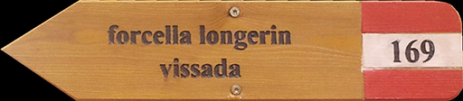
Longerin Cima Sud from Vissada Valley (CAI-169-195)
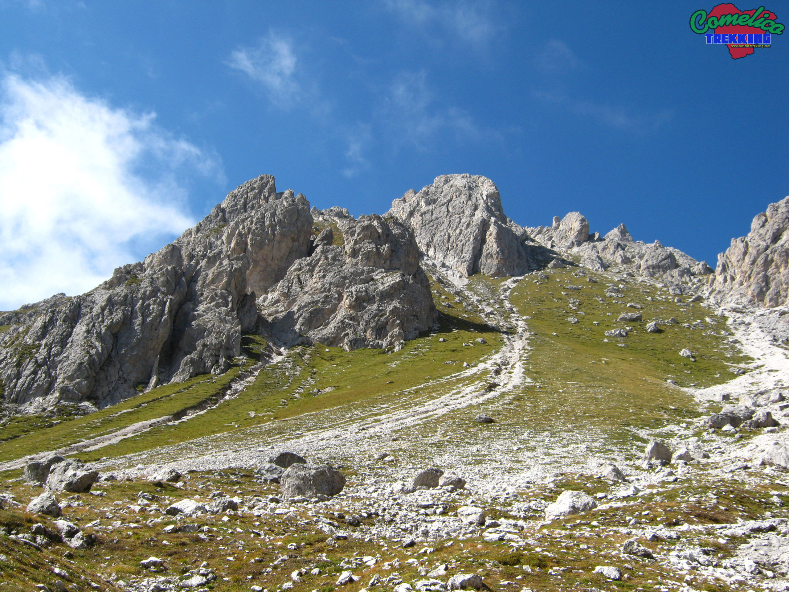
.169 We start from the F.la Zovo where we arrived by car and, after having adequately parked it to allow the parking of other cars, we walk along the path marked CAI-169. Initially, you proceed through the woods with a flat course. Leaving the forest behind, we cross the screes of Mount San Daniele on a recently arranged mule track. Proceed slightly uphill towards the north until you arrive at the end of Mount S. Daniele, from where you have a wonderful view of the Val Visdende, with the Rinaldo-Ferro Group nearby on the right and Mount Peralba in the distance. Now the climb becomes more concrete, always on the side of M. San Daniele, you rise for 150m at the entrance to Val Vissada through a steep natural gully between M. Schiaron and M. San Daniele on coarse gravel terrain; from here you can also admire a characteristic waterfall of the Rio di Vissada called ‘Pisandui’. Once we reach the gate that separates the valley we have reached about 1727 m a.s.l. and from this summit of the Val Vissada we begin to glimpse the C.de d. Longerin at the top left.
The road now climbs on the right side of the valley, along the base of Mount Schiaron, and after having covered about 500m of climbing, occasionally making encounters with some curious marmots along the pasture on our left, you can choose whether to make a stop on the large stone at the side of the road or decide to leave the route and walk towards the recently restored bivouac located in the center of the valley. After having refreshed ourselves properly, we resume the journey always heading north.
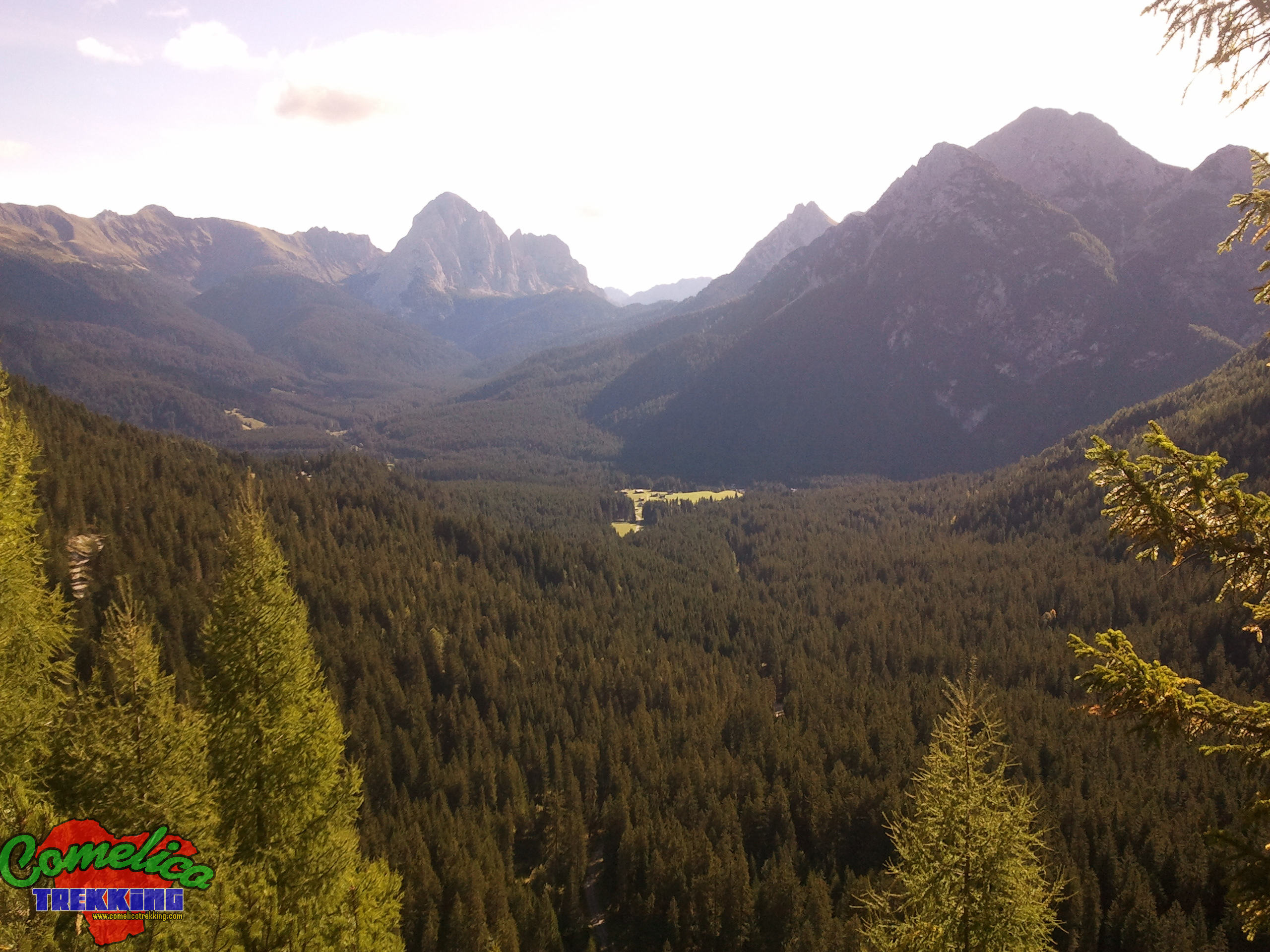
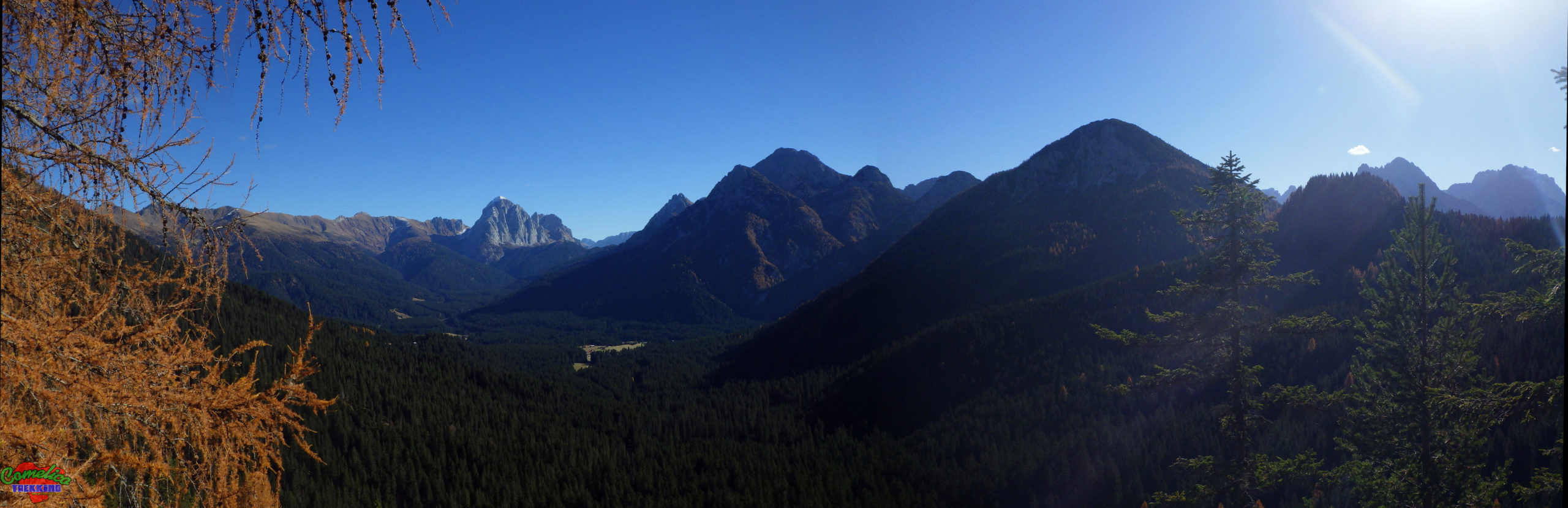
Now the climb is definitely gentler and in a short time it takes us to cross the Piani di Vissada, from where we can admire all three peaks of the local mountains very closely, and at this point in about ten minutes we are at F.la Longerin. Here the Val Vissada is abruptly interrupted and from above we can admire the Val di Londo, with its homonymous Alpine Hut, the M. Palombino, which rises straight in front of us, as well as the entire Italian-Austrian border line.
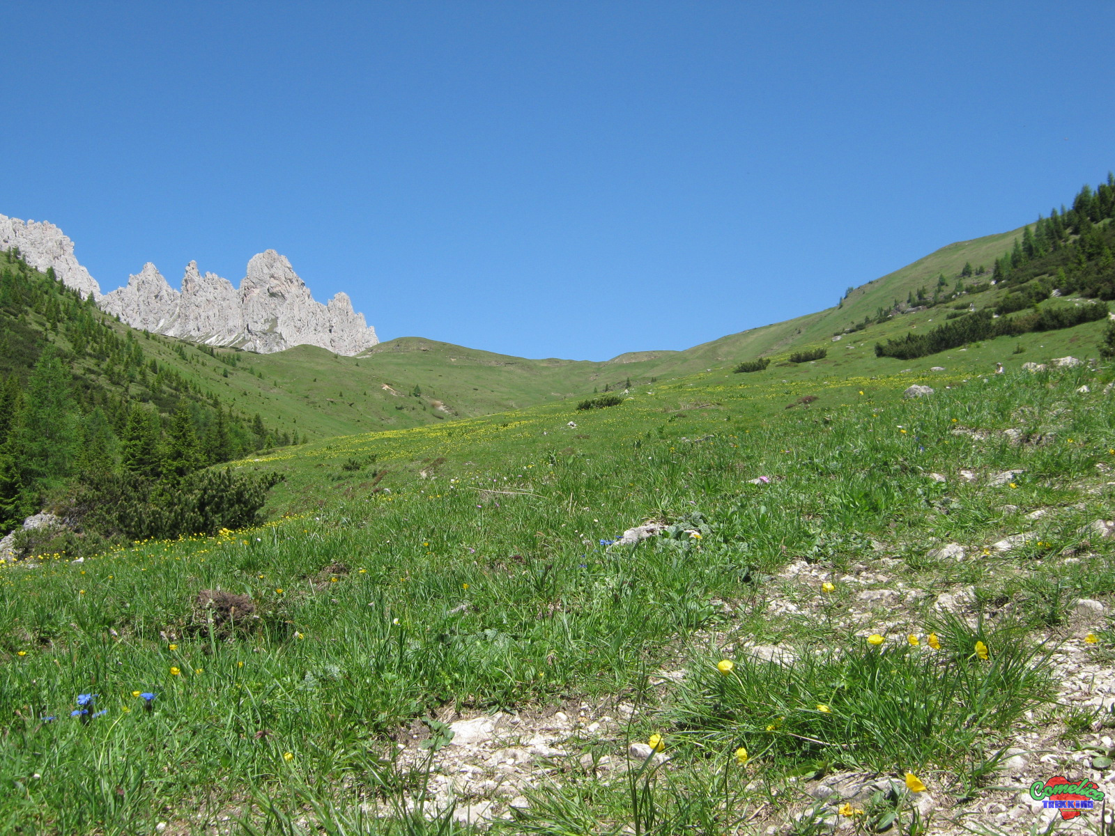
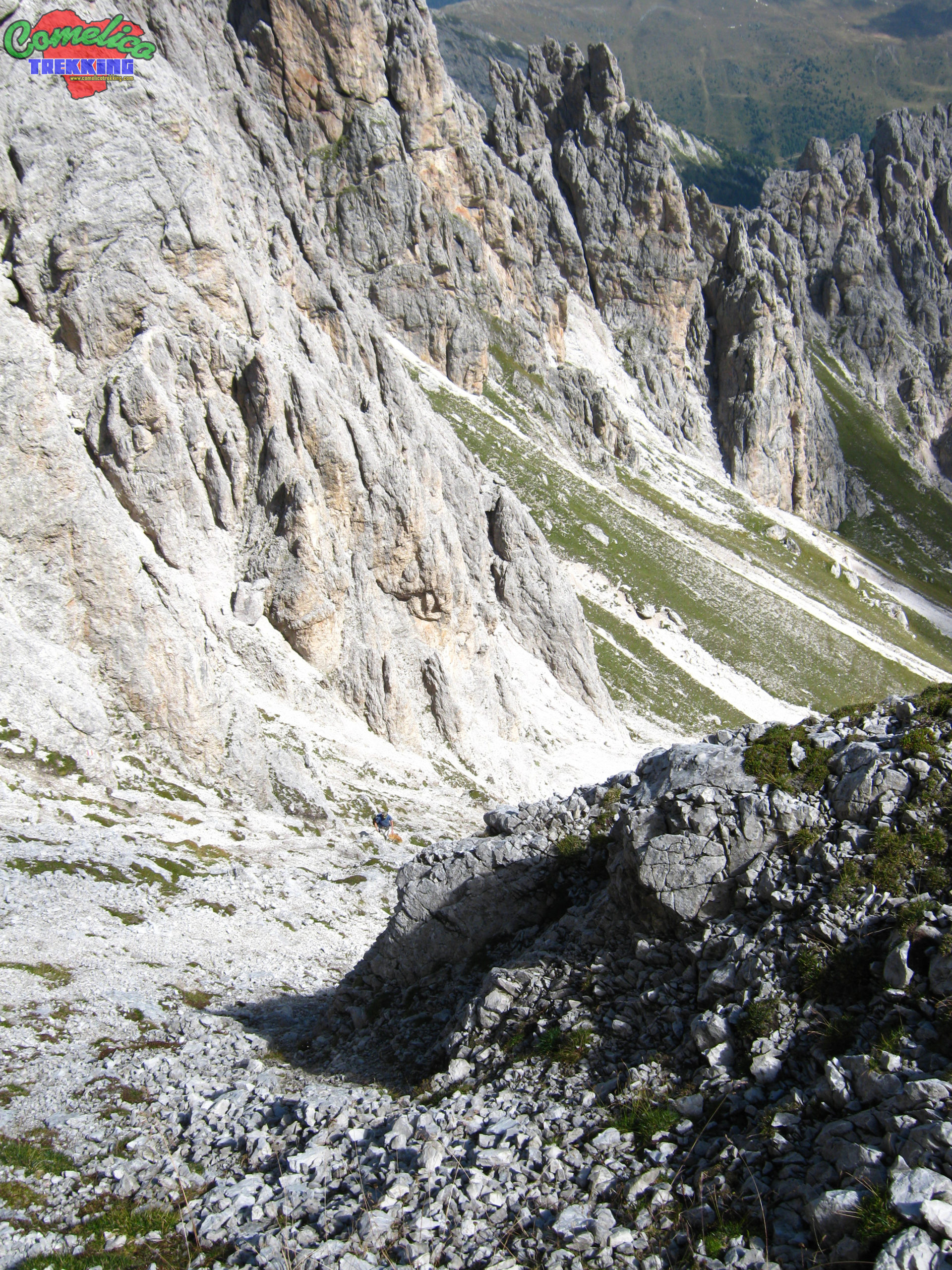
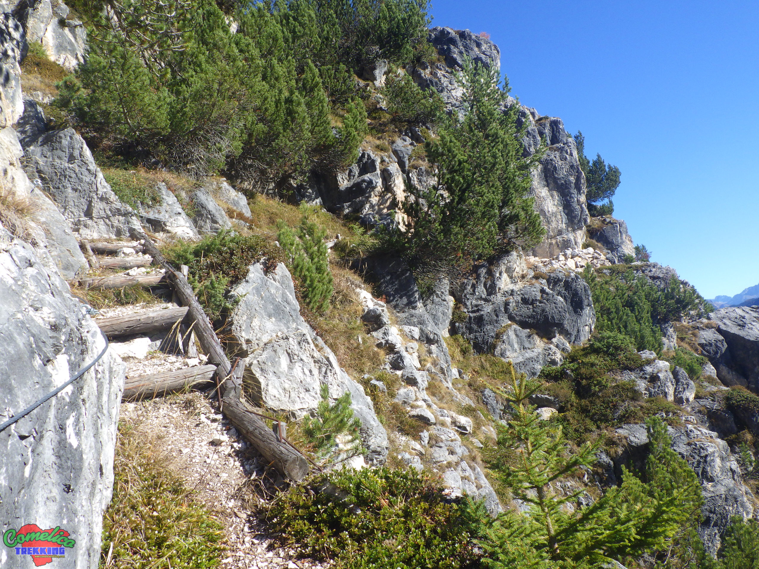
.195 We resume the route by taking the path marked CAI-195, which climbs straight up to the South Peak. Continue westwards, climbing through meadows, and gradually enter the natural arena that distinguishes the mountain. Soon the meadows give way to gravel that confuses the path making it disappear from view, especially if at the beginning of the summer season. Climb zigzagging between large rocks often marked by the trail marker until, now at an altitude of 2460 m a.s.l., leaving the main path a few meters, you can reach a fork from which you gain a unique view of the west side of the mountain. It allows you to admire the mountains along the state border, especially Monte Cavallino in a central position, and, moving your gaze further to the left, the Blocco del Monte Spina, Col Rosson and Col Quaterna’.
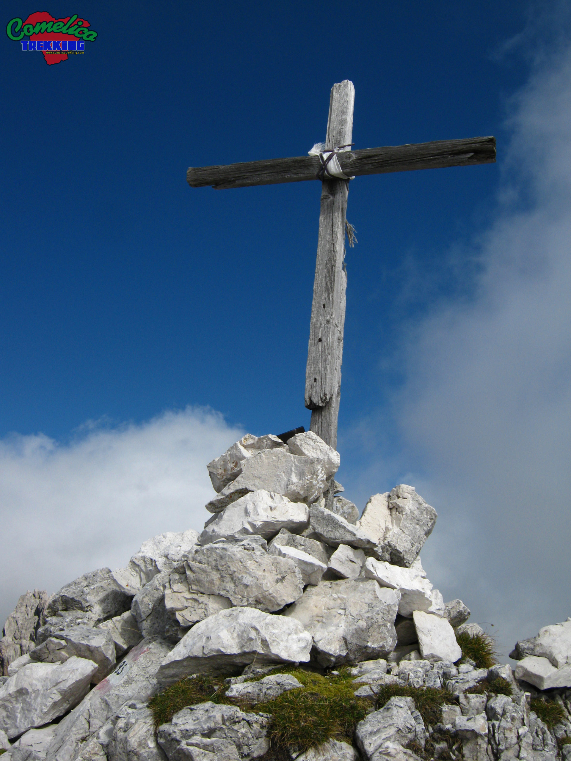
The final stretch of the climb points southwest, cross the gully that descends from the south summit from right to left, aiming for the next F.la below the summit, being careful not to let the stray stones start. In a few meters you can see the cross, and turning back, looking down, we notice that the road we have taken is very steep. A few meters left and with a few steps you reach the summit.
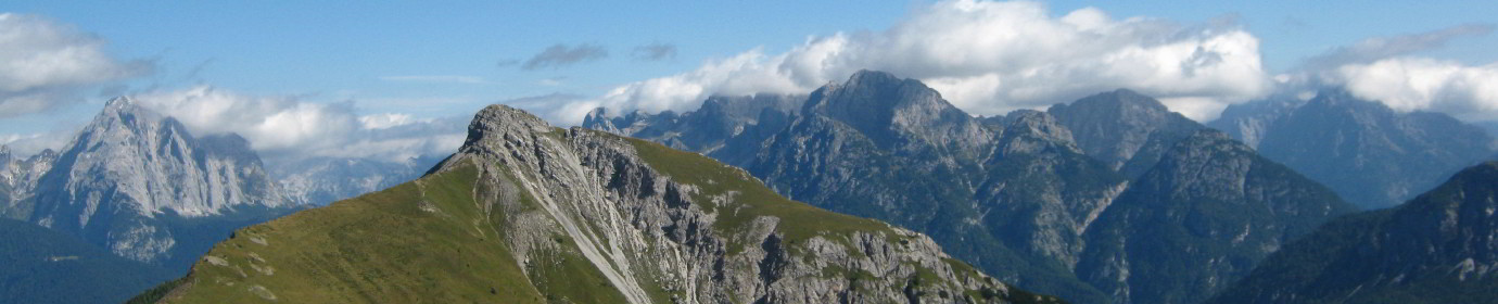
The view on clear days is enchanting. The whole Val Vissada extends below us, even the Schiaron and the S. Daniele are below us and further on extends the Val Visdende, while in the other directions the Italian-Austrian Border Line, Monte Palombino, Monte Zovo and the whole block of Monte Spina appear.
.Considerations The ascent to the C.de of the Longerin leads to an altitude of 2523 m a.s.l. of the South Peak; starting from the Zovo F.la you have an elevation of 907m and travel 5km in about 2 hours and 30. The difficulty of the excursion is EE as along the climb to the mountain proper, on the CAI-195 trail marker, the path is not well marked, forcing us to proceed over gravel and rocks even with a significant slope. The descent can also be undertaken on the south side of the mountain, in this case the path is marked little and only with stone cairns.
.the Military Path Just before going up to the ‘Pisandui’ waterfall, accompanied by a sign indicating, we have a military path dating back to the Great War. The Mini Ring Itinerary can be faced easily starting from the CAI-169 path at the share of 1600 m asl before starting the climb leading to Val Vissada. Or, on the opposite side, along the road that leads to Monte Zovo with CAI-154 signpost. Turn right, about 200m after the Forcella Zovo refuge.
The route includes a visit to what remains of a pitch for mortars and winds along military walkways even in cave.
.the Beautiful View At the crossroads of the CAI-169 path, you climb a few meters and then horizontally proceed south to meet a fence and a bench. We arrived at the Beautful View and from here you have a wonderful view of the Val Visdende.
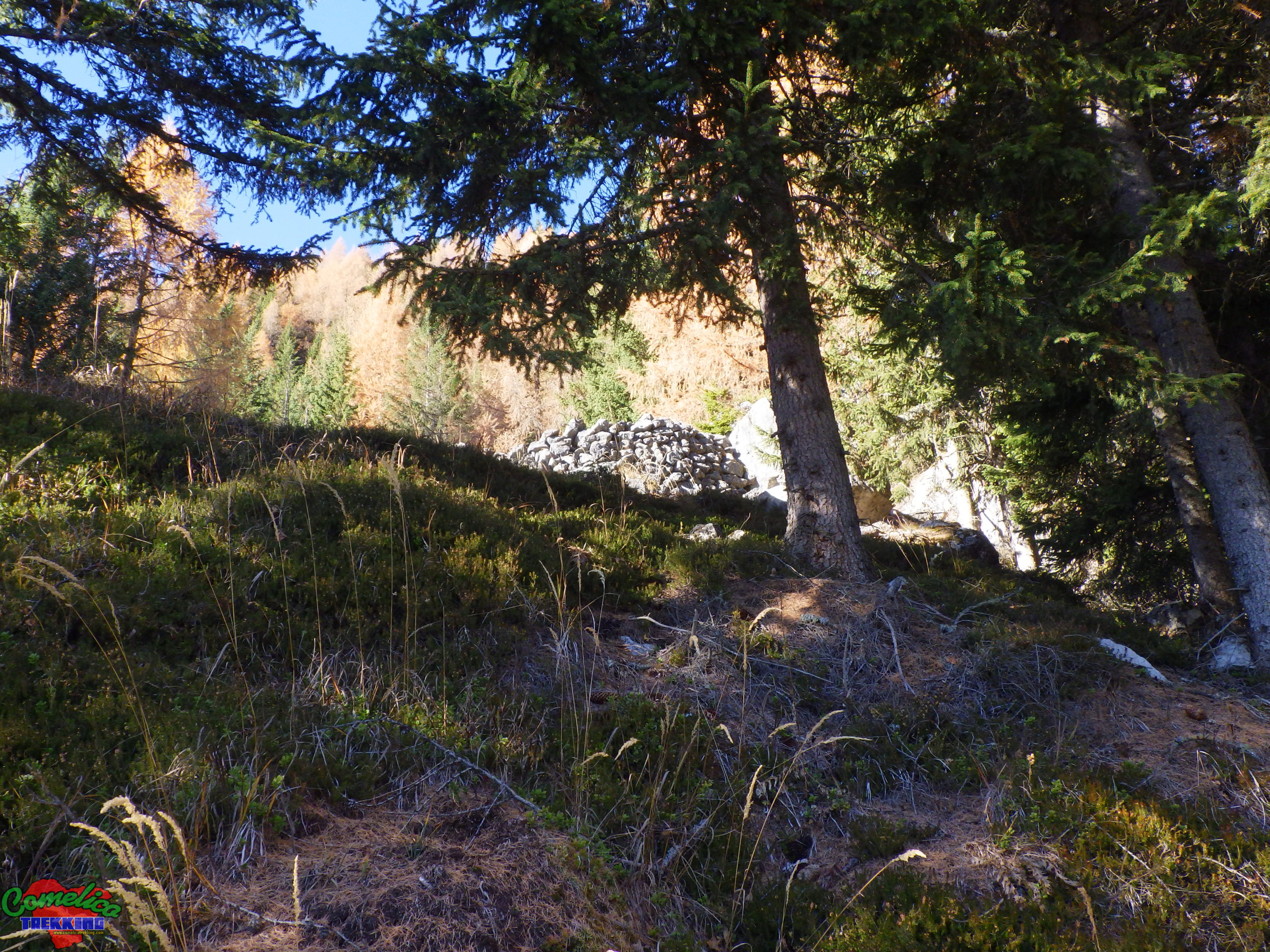
.the Bombard Back from a few steps back from the Beautifi View, the path begins to rise very steep. At the top we meet the ruins of a construction, in a very sunny clearing. We are in the bombard pitch where during the First World War the soldiers had installed bombing stations with mortars.
The path continues crossing a tunnel that comes out on the other side of the mountain with a wonderful view from the top of the woods; From here we continue mainly at altitude for rocks and gravels until you return to the woods. The way is equipped with metal ropes for the less experienced. The path continues by entering the woods until it comes to the vicinity from the F.la Zovo refuge along the road that leads to Monte Zovo.
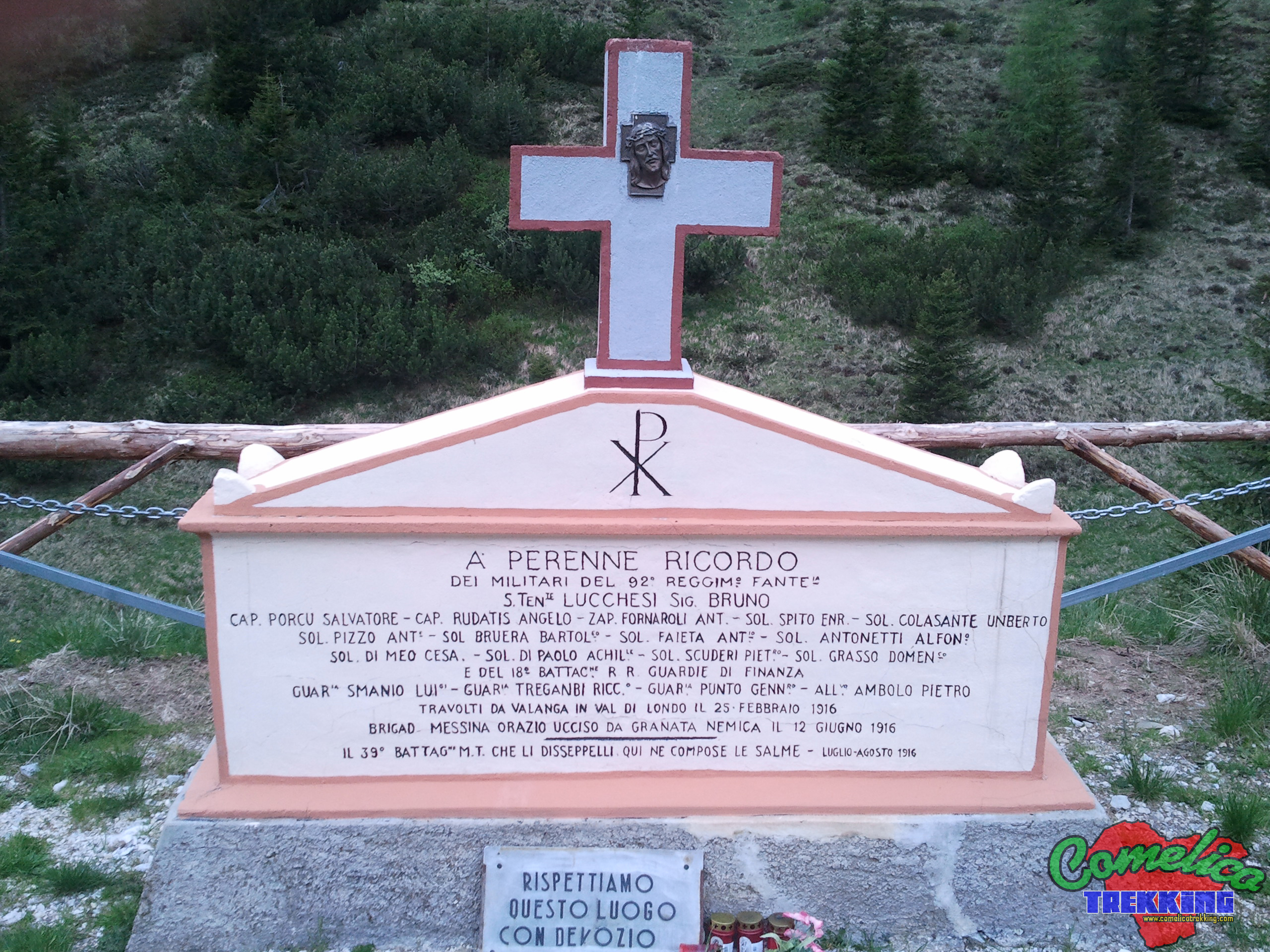
.the Monument Near the lower Val Vissada, before reaching the bivouac, we can focus on a cement stone, well kept and protected by the incursions of the cows. It recalls the history of the 92nd Infantry Regiment and the 18th Battalion of the Guardia di Finanza, overwhelmed by the avalanche in Val di Londo that took place on February 25, 1916, and of the brigadier killed by an enemy grenade on June 12, 1916. In this place the 39th battalion composed of the corpses during the summer of July-August 1916.
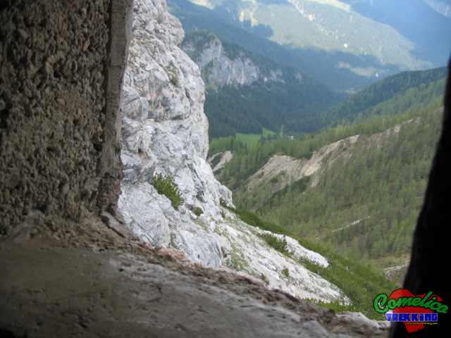
.the Tunnel In the surroundings of the F.la Longerin, facing The Torrioni, we can descend slightly from the Val di Londo side, along a path half-hidden by the pines. Continuing on a slight slope on gravel, it leads to a tunnel carved into the rock dating back to the First World War. The eventual shelter goes into the Tower for about fifteen meters and ends on the other side, where we find an artillery loophole that offers an unprecedented view of the Val di Londo.

.water The track guarantees a good supply of water, especially the first part of the climb in Val Vissada and up to F.la Longerin. The second part, on the other hand, does not present any source of water which must therefore be taken first.

.bike The climb to Val Vissada can also be undertaken by bicycle, despite being a stony and steep route, as the cycles can pass because the road is generally wide. However, only up to F. Longerin, because the ascent to Cima Sud along path 195 cannot be undertaken by bicycle.

.dog The whole excursion can be accompanied by a dog or more, as long as the animal is used to the altitude and knows how to behave on high mountain paths in the presence of rolling stones. Alternatively, you must proceed with a leash. In general there are no passages that can put four-legged animals in difficulty.

.shelters The presence of the new Val Vissada bivouac and the cave at Longerin guarantees a good shelter in case of bad weather, but also the possibility of being able to spend the night in the area in order to comfortably climb all the peaks of the valley.