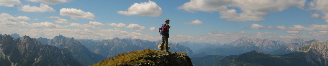
Longerin Cima Sud from Visdende Valley (CAI-167-169-195)
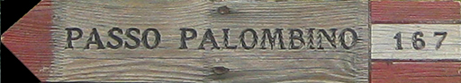
.167 If we do not have permission to circulate on forest roads in the municipality of San Pietro di Cadore, our walk starts from the Bivio Ciadon, otherwise we can get by car to the M.ga Londo. The paved road with CAI-167 trail sign proceeds north-west and, following the bed of the Londo stream, we find ourselves in the mixed forest of larch and fir trees between Colle Spina and Monte Schiaron. Soon in about twenty minutes we arrive at M.ga Londo (1643 m a.s.l.). Our path becomes thinner and increases in slope; when the forest begins to thin out, in the locality of Sorgenti del Londo (1696 m a.s.l.), we leave the path for the P.so Palombino and undertake the climb to the F.la Longerin, entering the impervious and steep Val dei Longerin along the CAI-169 trail sign.
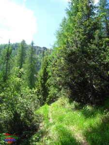
.169 The whole climb is tackled in the mixed forest along a well-marked and hollowed track, with the exception of the initial start of the route which is accessed through meadows.
In a good half hour we are then in F.la Longerin (2044 m a.s.l.) ready to follow, to the right, the path marked CAI-195 for The Cima Sud of Crode dei Longerin.

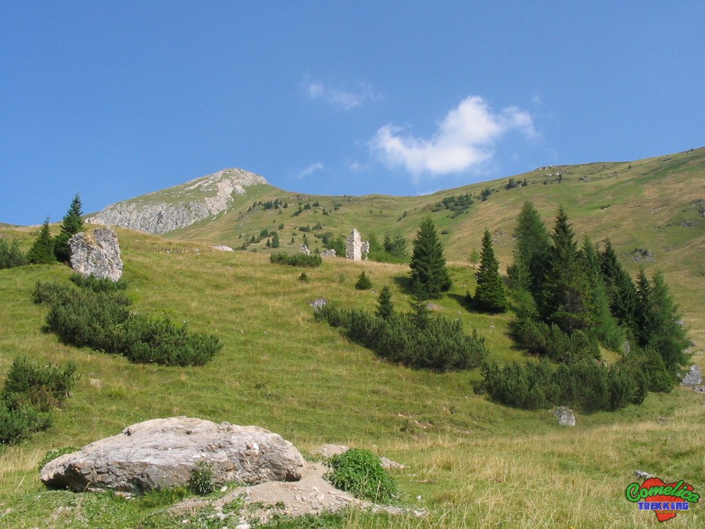
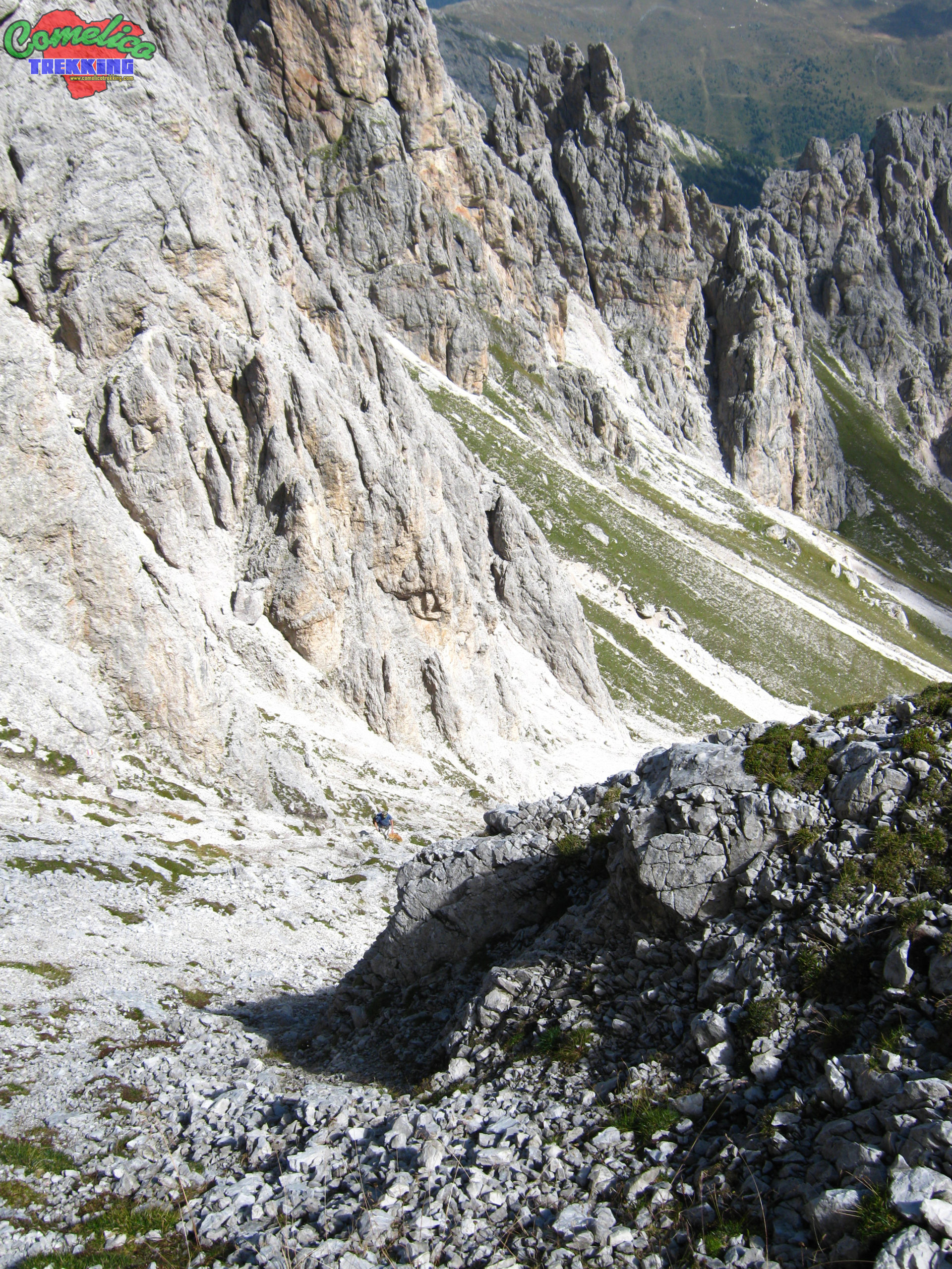
.195 We resume the route by taking the path marked CAI-195, which climbs straight up to the South Peak. Continue westwards, climbing through meadows, and gradually enter the natural arena that distinguishes the mountain. Soon the meadows give way to gravel that confuses the path making it disappear from view, especially if at the beginning of the summer season. Climb zigzagging between large rocks often marked by the trail marker until, now at an altitude of 2460 m a.s.l., leaving the main path a few meters, you can reach a fork from which you gain a unique view of the west side of the mountain. It allows you to admire the mountains along the state border, especially Monte Cavallino in a central position, and, moving your gaze further to the left, the Blocco del Monte Spina, Col Rosson and Col Quaterna’.
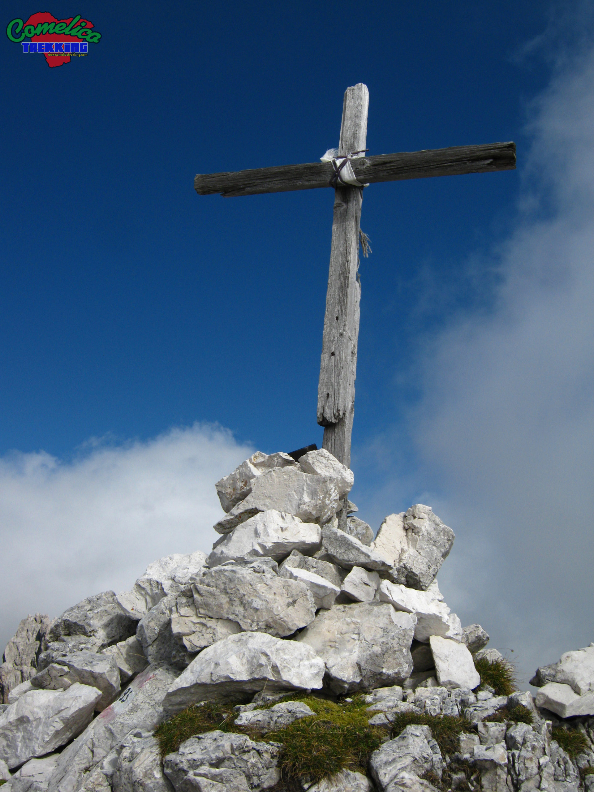
The final stretch of the climb points southwest, cross the gully that descends from the south summit from right to left, aiming for the next F.la below the summit, being careful not to let the stray stones start. In a few meters you can see the cross, and turning back, looking down, we notice that the road we have taken is very steep. A few meters left and with a few steps you reach the summit.
The view on clear days is enchanting. The whole Val Vissada extends below us, even the Schiaron and the S. Daniele are below us and further on extends the Val Visdende, while in the other directions the Italian-Austrian Border Line, Monte Palombino, Monte Zovo and the whole block of Monte Spina appear.
.Considerazions The ascent to the C.de dei Longerin leads to an altitude of 2523 m a.s.l. of the South Peak; starting from the M.ga Londo you have an elevation of 880m and travel 3km in about 2 hours. The difficulty of the excursion is EE as along the climb to the mountain proper, on the CAI-195 trail marker, the path is not well marked, forcing us to proceed over gravel and rocks even with a significant slope. The descent can also be undertaken on the south side of the mountain, in this case the path is marked little and only with stone cairns.
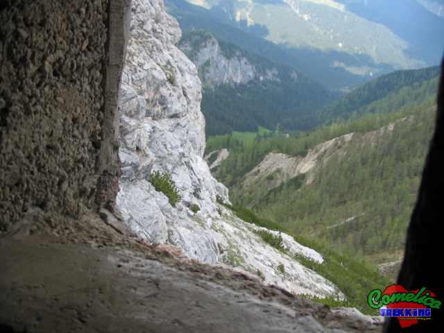
.the Tunnel In the surroundings of the F.la Longerin, facing The Torrioni, we can descend slightly from the Val di Londo side, along a path half-hidden by the pines. Continuing on a slight slope on gravel, it leads to a tunnel carved into the rock dating back to the First World War. The eventual shelter goes into the Tower for about fifteen meters and ends on the other side, where we find an artillery loophole that offers an unprecedented view of the Val di Londo.

.water The track guarantees a good supply of water, especially the first part of the climb in Val di Londo. The second part, on the other hand, does not present any source of water which must therefore be taken first.

.bike The ascent along the Valle dei Longerin cannot be undertaken by bicycle and the ascent to Cima Sud along path 195 cannot be undertaken with this medium. The cycles can travel, with some difficulty because of the marshy terrain, only the ascent to P.so Palombino.

.dog The whole excursion can be accompanied by a dog or more, as long as the animal is used to the altitude and knows how to behave on high mountain paths in the presence of rolling stones. Alternatively, you must proceed with a leash. In general there are no passages that can put four-legged animals in difficulty.

.shelters The presence of the new Val Vissada bivouac, the Longerin cave and the M.ga Londo guarantee a good shelter in bad weather.