Monte Vancomun

The Geographical Features
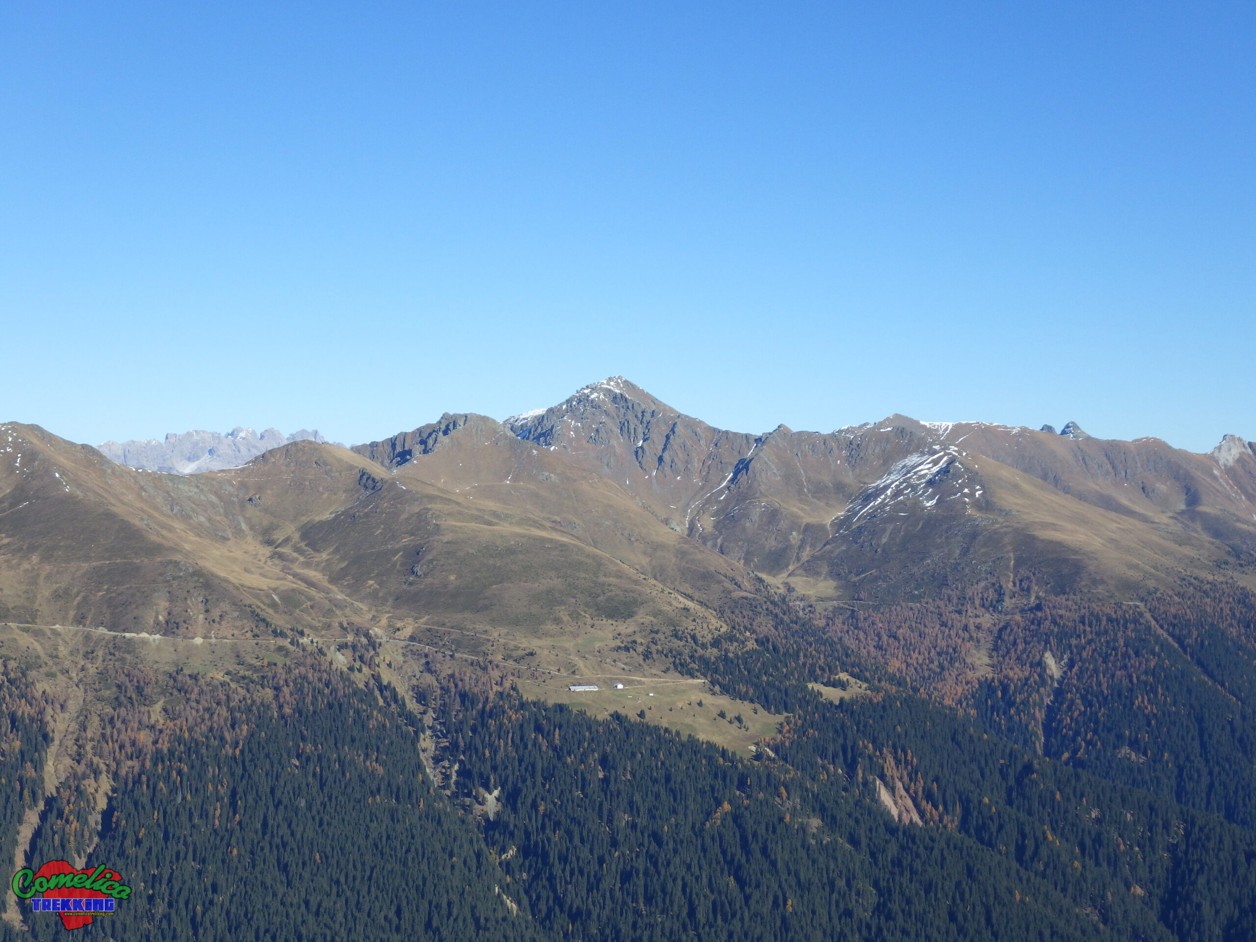
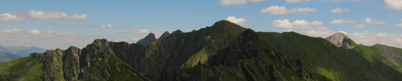
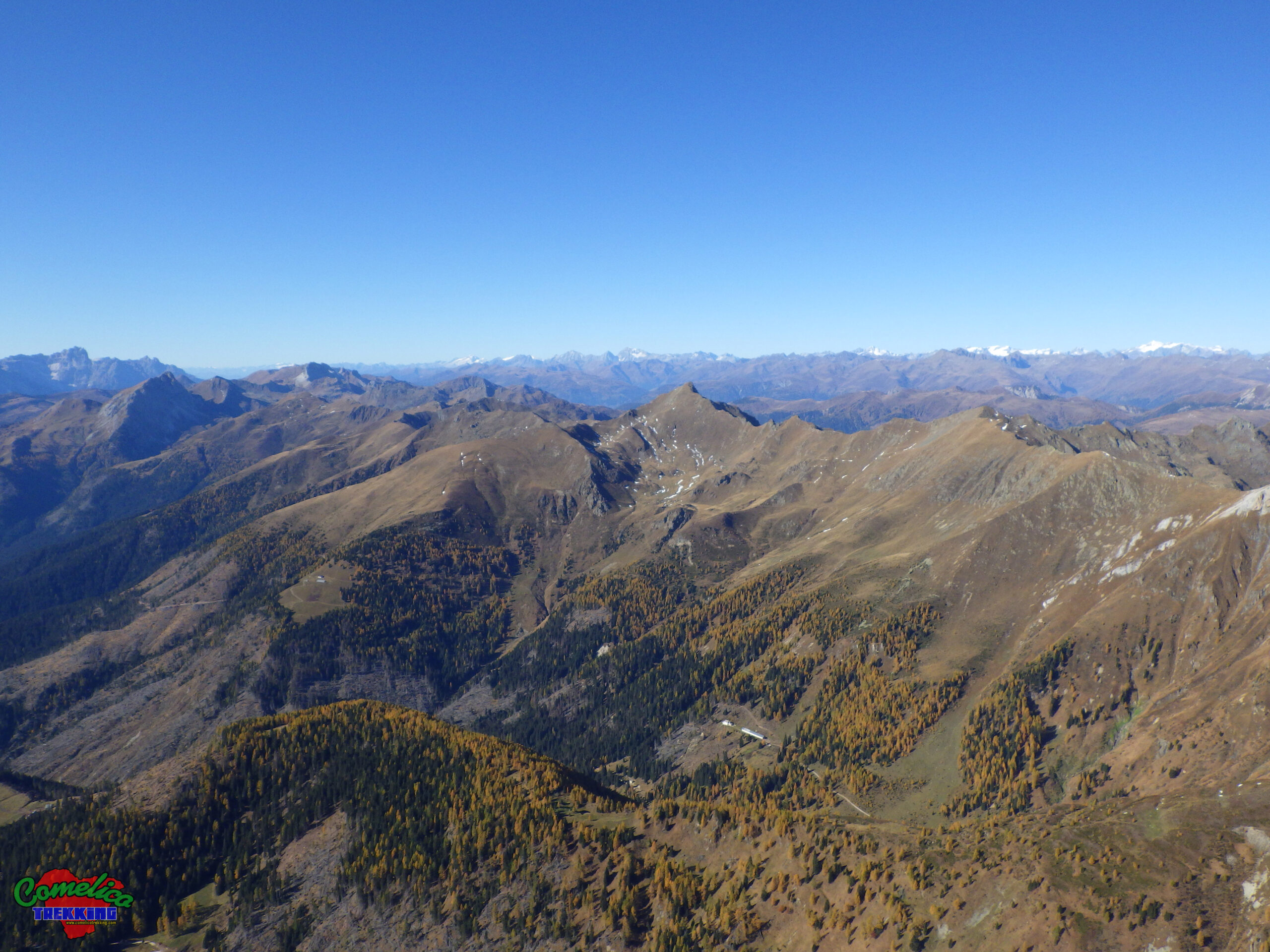
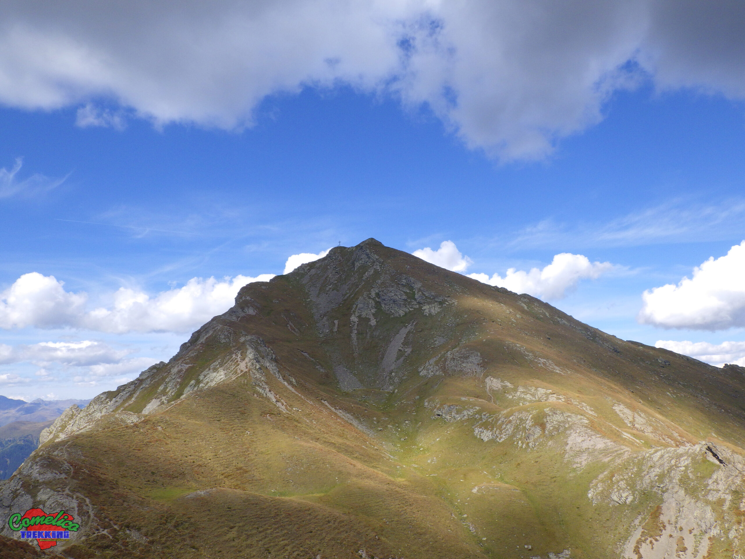
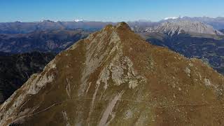
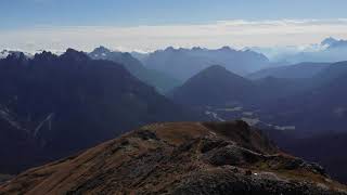
.the Peaks Monte Vancomun reaches an altitude of 2580 m a.s.l. It stands perpendicular to the Northern border of Comelico, the one towards the Austrian state, thinning out, on the Italian side, in C. Chiastelin. Together with M. Pietra Bianca, M. Antola, M. Cecido, Croda Negra and others minor peaks form the eastern part of the Italian-Austrian border line. Clearly visible in the Val Visdende, the pointed grassy peak can be reached comfortably, starting from the Traversata Carnica path CAI-172, or, from below, going up theVal Carnia.
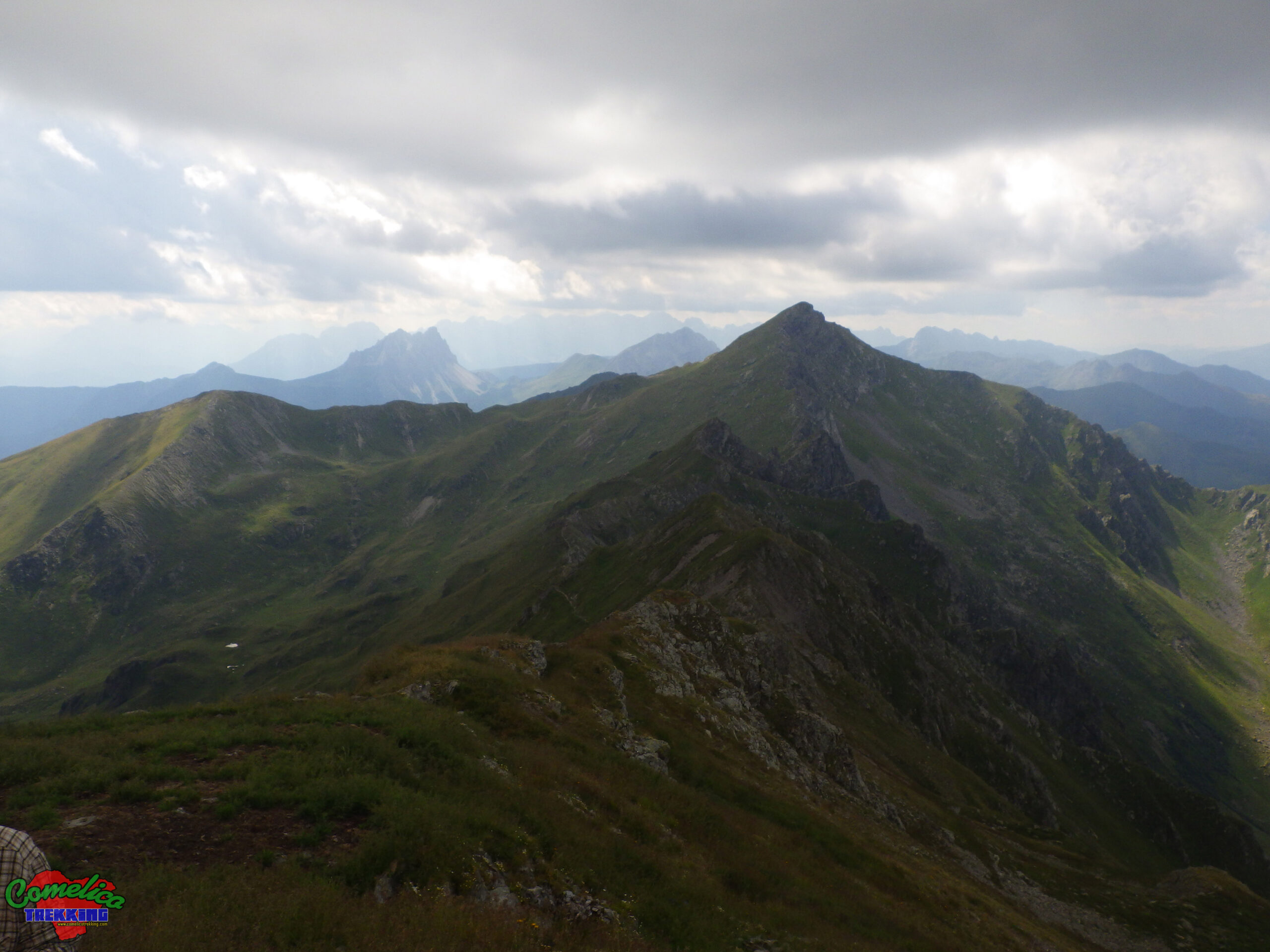
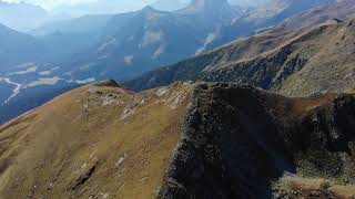
.the Valleys The South side of Mount Vancomun initially slopes down to Col Chiastelin, then overlooks the Val Visdende. The North side overlooks the Austrian state with the characteristic comb shape that all the peaks that run along the state border have. To the East it borders with Monte Antola, forming the Val Grande and the Vancomun, a large grassy area full of small alpine lakes. To the West it descends steeply and rockyly to the Forcella Val Carnia bordering the grassy peaks of Manzon.
.the Rivers Monte Vancomun rises in an area very rich in water. Like the nearby area of Mount Pietra Bianca, in fact, many small water courses descend along its slopes which condense in the Val Carnia stream towards the West and just below the summit, in the large Vancomun compartment, it forms some small alpine lakes alpine lakes which subsequently pour in Rio Lavazzei / Val Grande.
Political Borders
Mount Vancomun separates Austria from Italy to the North. The South side overlooks the Visdende Valley. The mountain is located entirely within the territory of the Municipality of Santo Stefano di Cadore and, towards the West, the Val Carnia with its relative stream marks the border with the Municipality of San Pietro di Cadore.
The Approach
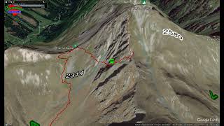
.from Val Carnia The normal route to climb to the summit of Monte Vancomun starts in Val Visdende at the town of Costa d’ Antola. We follow the path marked CAI-128 and go up the long Val Carnia to the homonymous Forcella. From here you turn right onto the CAI-172 path going up a gully, helped by some metal ropes, useful in case of rain or ice.
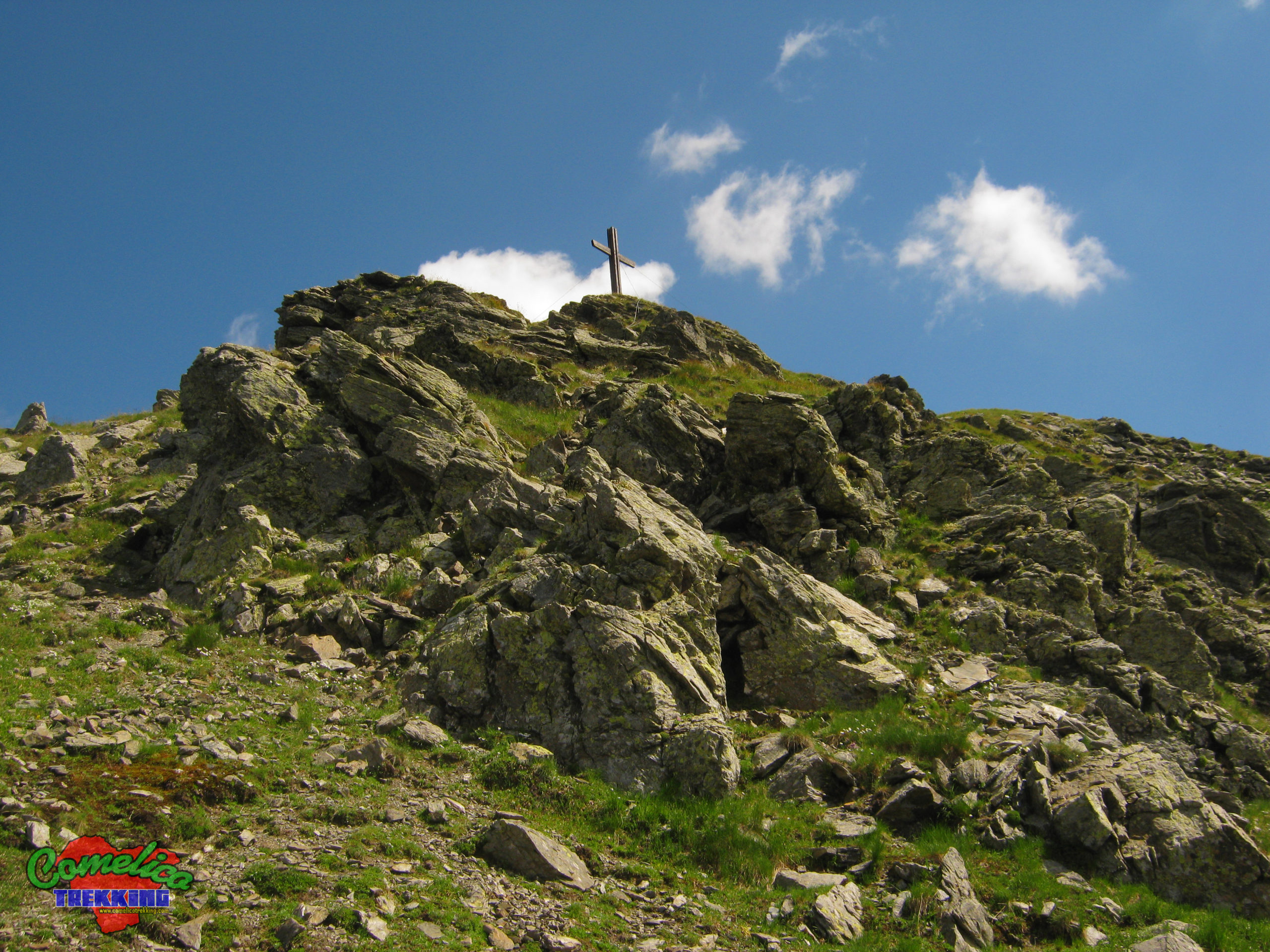
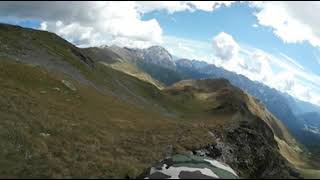
.alternative descent from Col Chiastelin After descending from the top, at the crossroads with the Traversata Carnica we can walk the ridge that connects Monte Vancomun with Col Chiastelin. Up to the top of the Hill and a little further on, continue on a well-marked track with a wide panorama in all directions. Once we reach the top of the hill we begin the descent crossing old war trenches until we reach the meadows beyond which we arrive at Chiastelin Dairy. You return to Visdende Valley by forest road.

The climb
Starting from the crossroads with the CAI-172 ridge path, reaching the top is simple. The very marked path climbs along the Western edge of the narrow peak, between meadow and rocky escarpment. In about twenty minutes we are up.
Mount Vancomun
- 1
- 2
- 3
- 4
- 5
Col Chiastelin
- 1
- 2
- 3