The Rocca dei Bagni & The Rocca da Campo
Superb ring hike in the Popera group that winds along the slopes of Peak Bagni and Peak of Ambata.
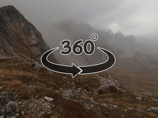
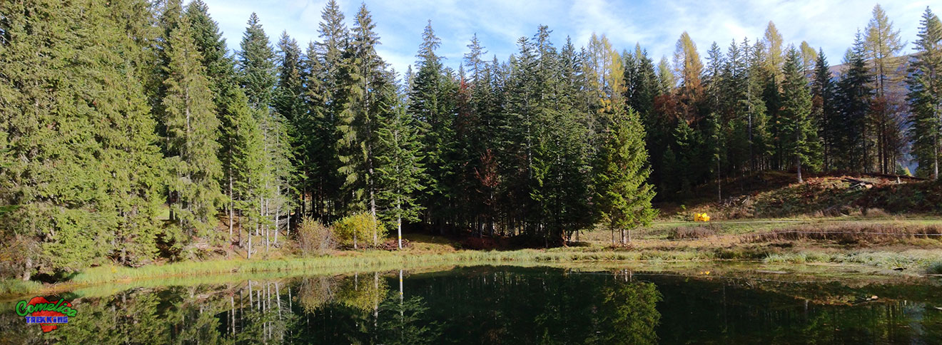
Leaving the car in the town of Padola di Comelico Superiore, we set off on the forest road marked with CAI-151. After the Laghetto da Campo we continue to climb towards the Northwest, at times along the ski slopes, until we reach an altitude of 1720 m asl, where we change direction taking the CAI-126 path, which gradually approaches us to the rocks crossing the forest of firs and then pine trees. After crossing the suggestive grassy clearing called: ‘Bus del Pinter’ we start to really climb and soon, we find ourselves on the scree that accompanies us for most of the ascent. Steep and stable, the scree at times marked with stone cairns leads us to cross the CAI-153 path which we follow by turning to the right. Now we cover a large part of the route at a high altitude towards the first peak of the day: The Rocca dei Bagni, which can be easily conquered after having gained the more demanding saddle of the same name, which, on a narrow and earthy track, leads us to the grassy summit of the Rock.
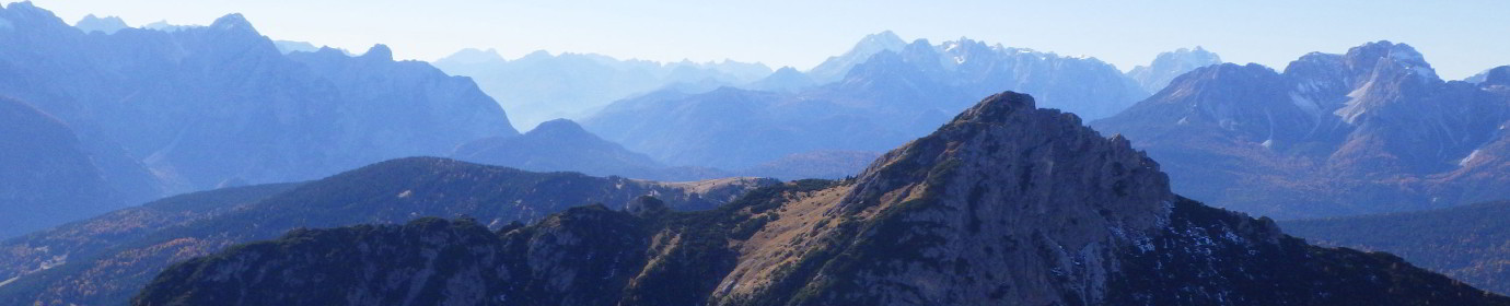
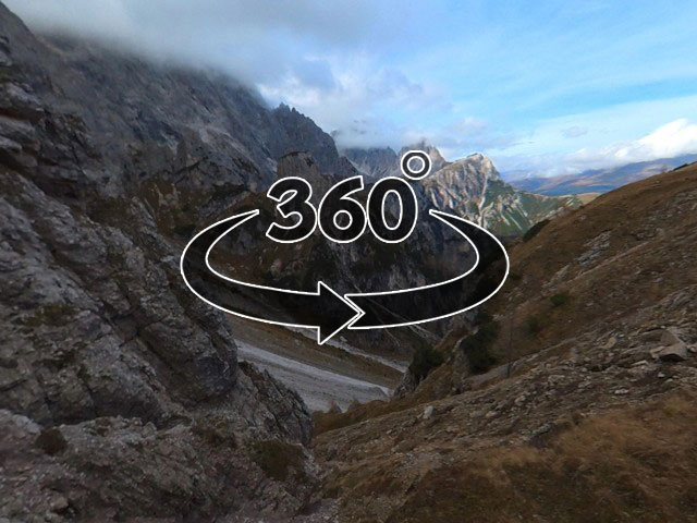
After the necessary reliefs, we quickly retrace our steps to the junction with the CAI-126 path, now we continue on the CAI-153 path to reach the simpler summit of The Rocca da Campo, also grassy. Then we continue to climb briefly to the Forcella della Rocca da Campo where our climb ends. Now we descend on a nice track towards the Col dla Tenda Refuge and then to the town of Padola along the forest road that leads to the refuge and in the final stretch, to shorten the itinerary on the final part of the ski slopes.
THE ROCCA DEI BAGNI FORK
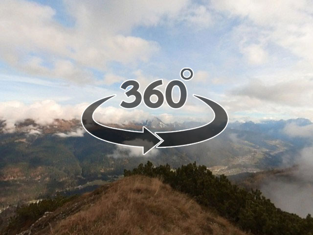
THE ROCCA DEI BAGNI
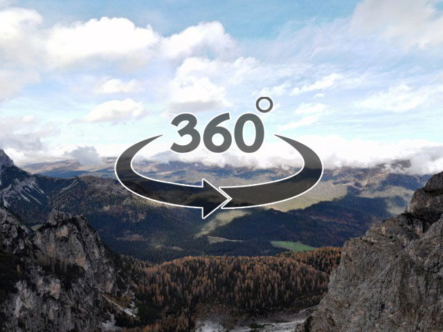
THE CADIN CIAPEL
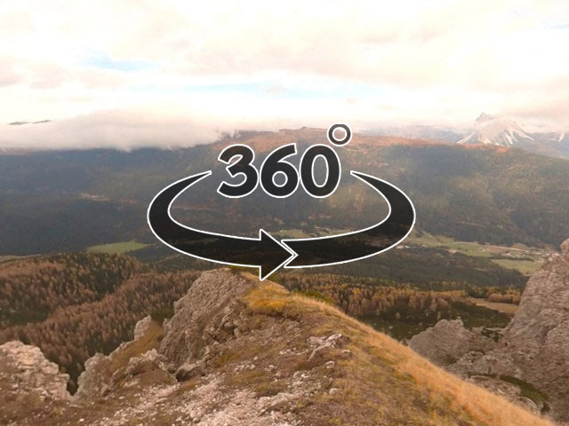
THE ROCCA DA CAMPO