The Monte Antola
Let’s go back to Antola Valley and continue the series of photographic shots that began in 2017 visible in this article.
Going up along the right side of Val Visdende, in Costa d ‘Antola. Go beyond along the forest road of Alpine Huts, the first: Chivion alpine hut. Once you reach the hairpin bend with the bridges, before reaching Antola Alpine Hut, the excursion begins.
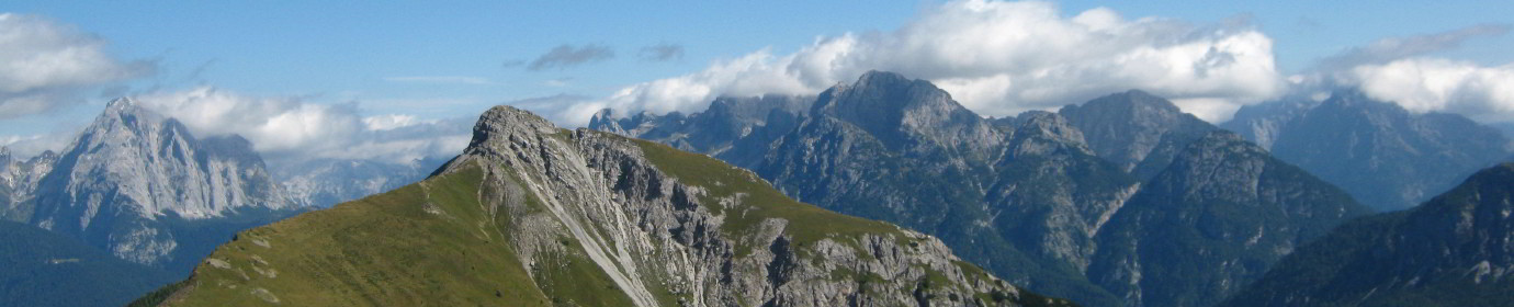
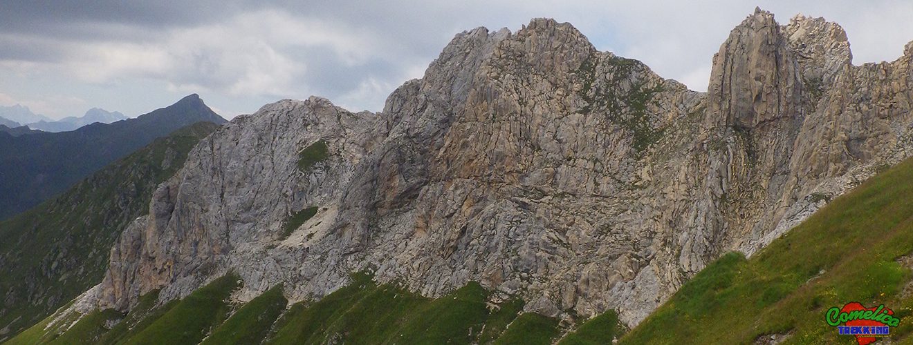
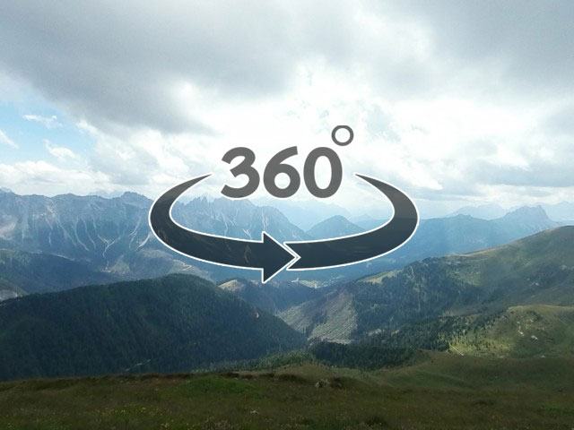
We climb along the pasture to the east to the slopes of Monte Pietra Bianca. At the end of the meadow, where the rock begins, turn right. Coming up comfortably up the Col della Varda we walk through a grove of larch and broad-leaved trees. Once on the crest of the hill we can admire a small alpine lake. Now, go along the hill, initially along the ridge, then zigzagging along the military mule track to the Cima della Varda, on the CAI-172 trail. Continue along an evident and exposed trail up to the Sella di Luggau, where the path becomes very marked and simple. It is possible to climb to the top of Monte Pietra Bianca in about half an hour, abandoning the way to the saddle, just after Il Buso. Relatively simple ascent, for experts, on a narrow and very exposed peak, there are some trail markers and some faded flags.
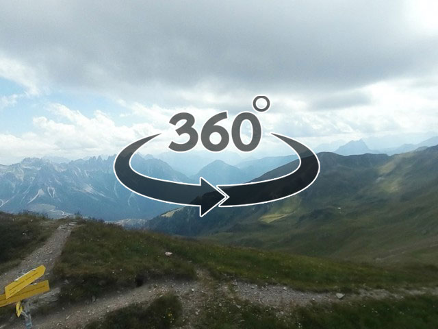
We continue towards Munt Antola along the state border path always on trail sign 172. We return, descending through meadows, along theVal Grande until we cross the Road of The Mountain Huts again.
Saliamo lungo il pascolo verso Est fino alle pendici del Monte Pietra Bianca. Giunti alla fine del prato, dove comincia la roccia, si svolta verso destra. Risalendo comodi il Col della Varda percorriamo un boschetto di larici e latifoglie. Giunti in cresta del colle possiamo ammirare un piccolo laghetto alpino. Ora, si percorre il colle, inizialmente lungo la cresta, poi zigzagando lungo mulattiera militare fino alla Cima della Varda, su segnavia CAI-172. Si prosegue per traccia evidente e esposta fino alla Sella di Luggau, dove il sentiero si fa molto marcato e semplice.
E’ possibile salire sulla cima del Monte Pietra Bianca in circa mezz’ora, abbandonando la via per la Sella, appena oltrepassato Il Buso. Salita relativamente semplice, per esperti, su cima stretta e molto esposta, sono presenti dei segnavia a roccette e qualche bandierina sbiadita.
Continuiamo verso il Monte Antola percorrendo il sentiero di confine di stato sempre su segnavia 172. Rientriamo, scendendo per prati, lungo la Val Grande fino a incrociare di nuovo la Strada delle Malghe.
THE BUSO CAVE
CIMA CIANDAZEI
ANTOLA FORK

MONTE ANTOLA CAVE