Google Maps – The Comelico Shelters
Some spherical ones concerning the Comelico shelters are online The Tunnel Through The Torrioni of Longerin The Gallery in Mount San Daniele Cave on Mount Cecido Rinaldo Valley Shelter
![]()
..dedicated to those who are not and who can no longer go

Some spherical ones concerning the Comelico shelters are online The Tunnel Through The Torrioni of Longerin The Gallery in Mount San Daniele Cave on Mount Cecido Rinaldo Valley Shelter
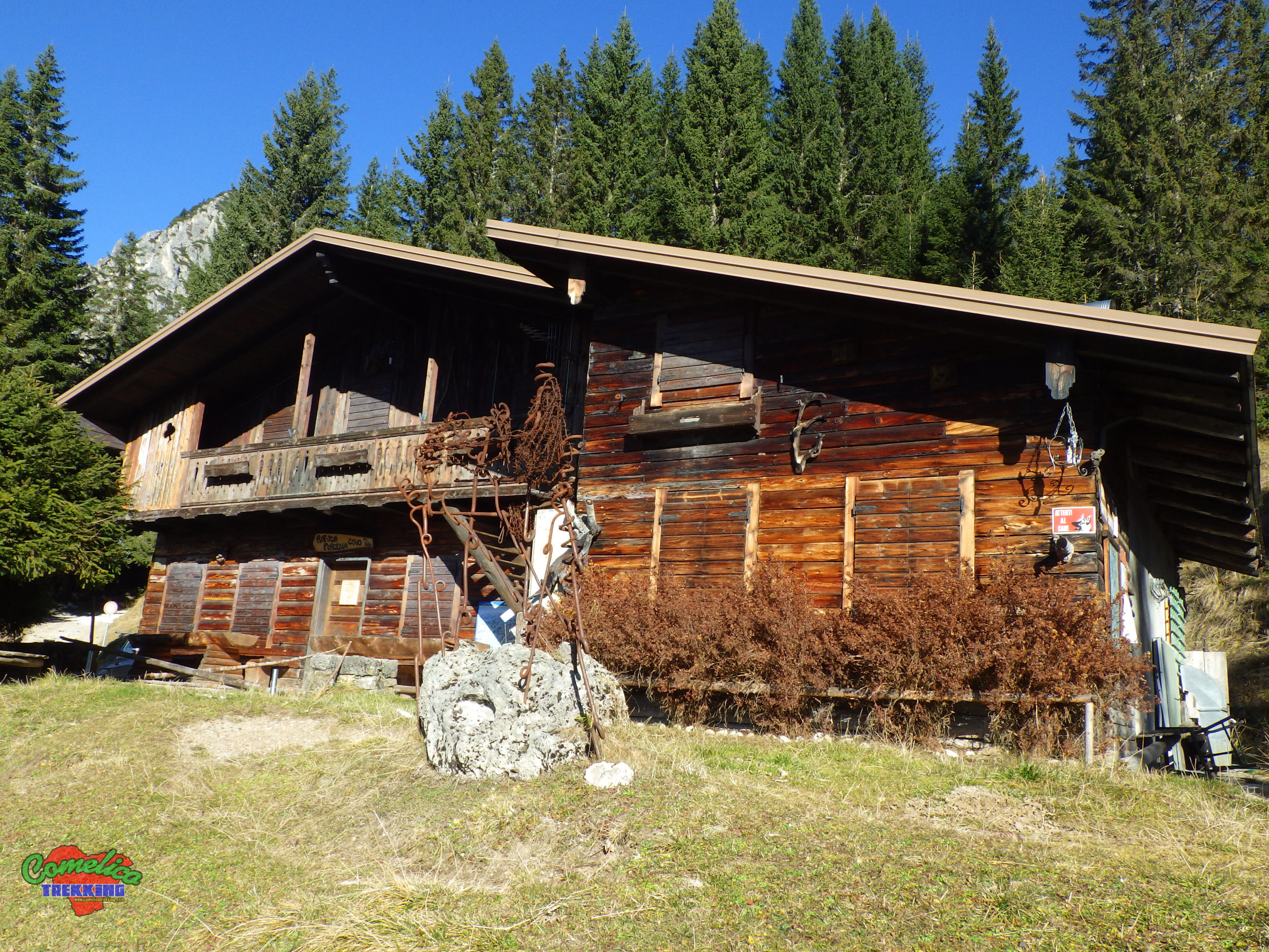
Street View images regarding the Comelico bivouacs are also ready online The Mount Col Bivouac The Ursella Zandonella Bivouac The Federa Mauria Bivouac The Spagnolli Bivouac The Franco Marta Bivouac The Digola Bivouac The...
Also online the sphericals for Street View regarding the Comelico refuges: The Italo Lunelli Refuge The Mount Ferro Refuge THe Mount Zovo Refuge The Zovo Fork Refuge The Piave River Source Refuge The Pier...
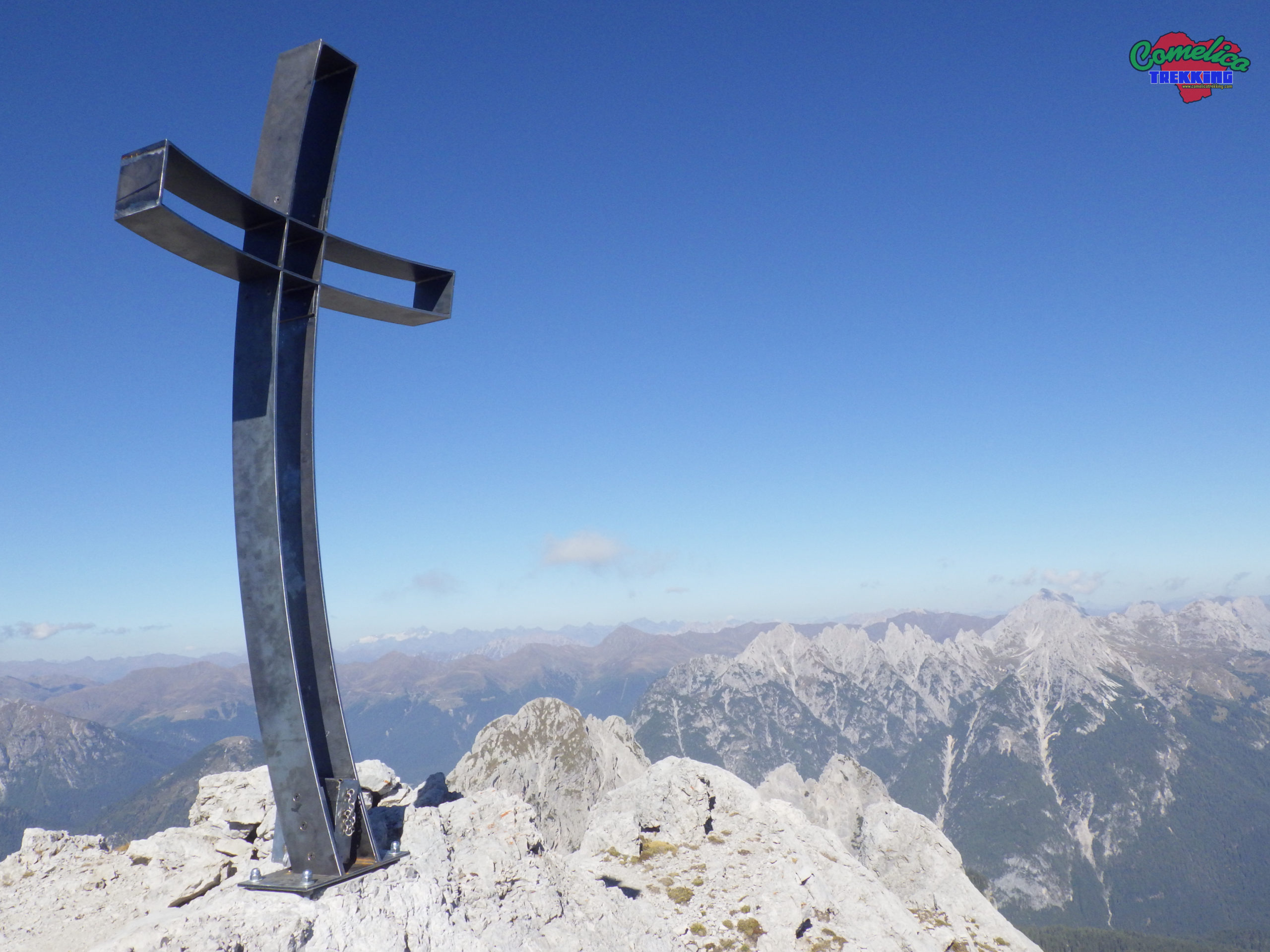
I add to the spherical images for Google Street View the photo of the top of Moun Aiarnola, which is not a very simple peak due to the unstable rock. EDIT 2022: Climbed from...
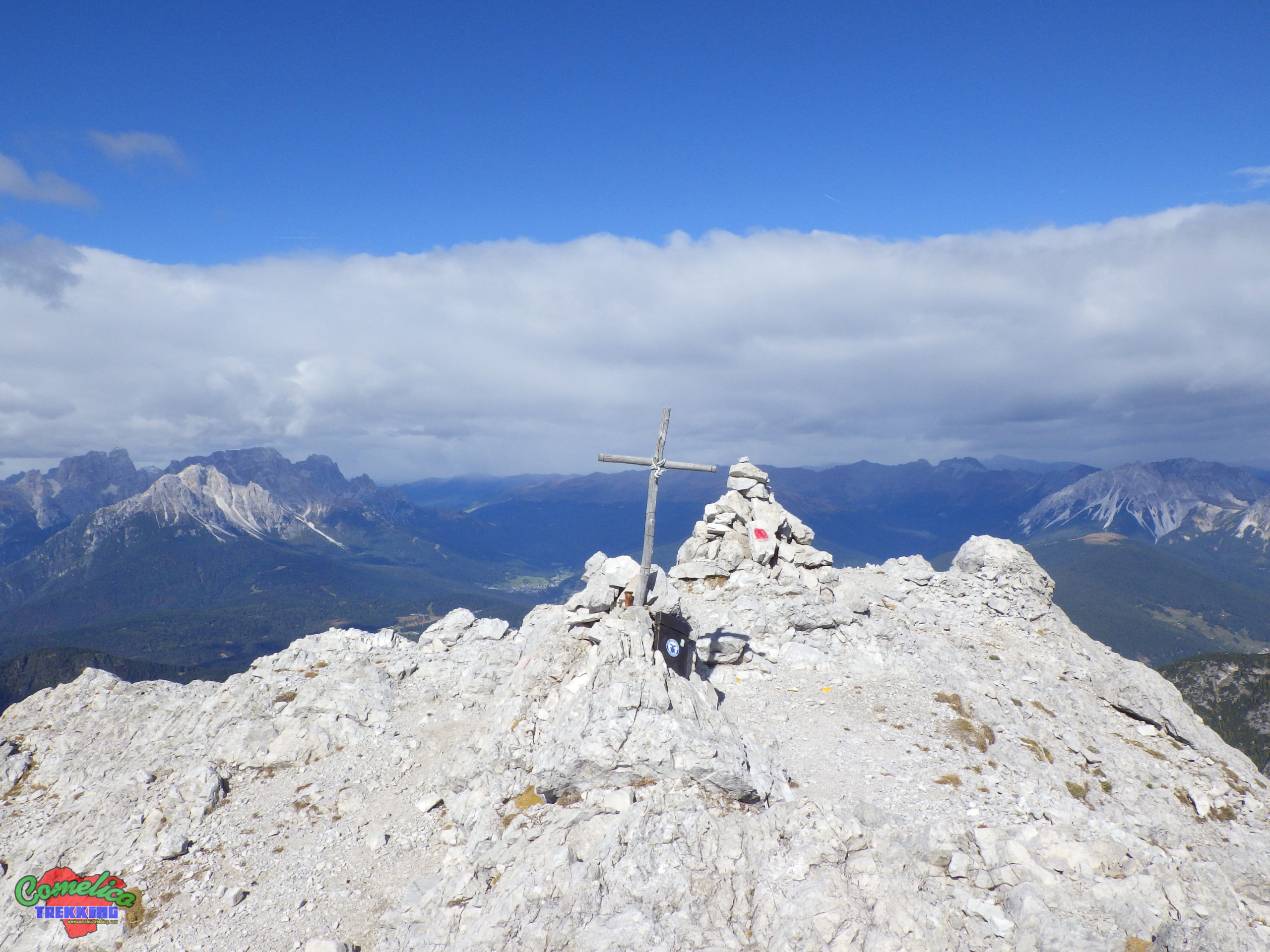
Complete card of the mount available here The Losco Fork The Camporosso Fork The West Peack of Mount Brentoni
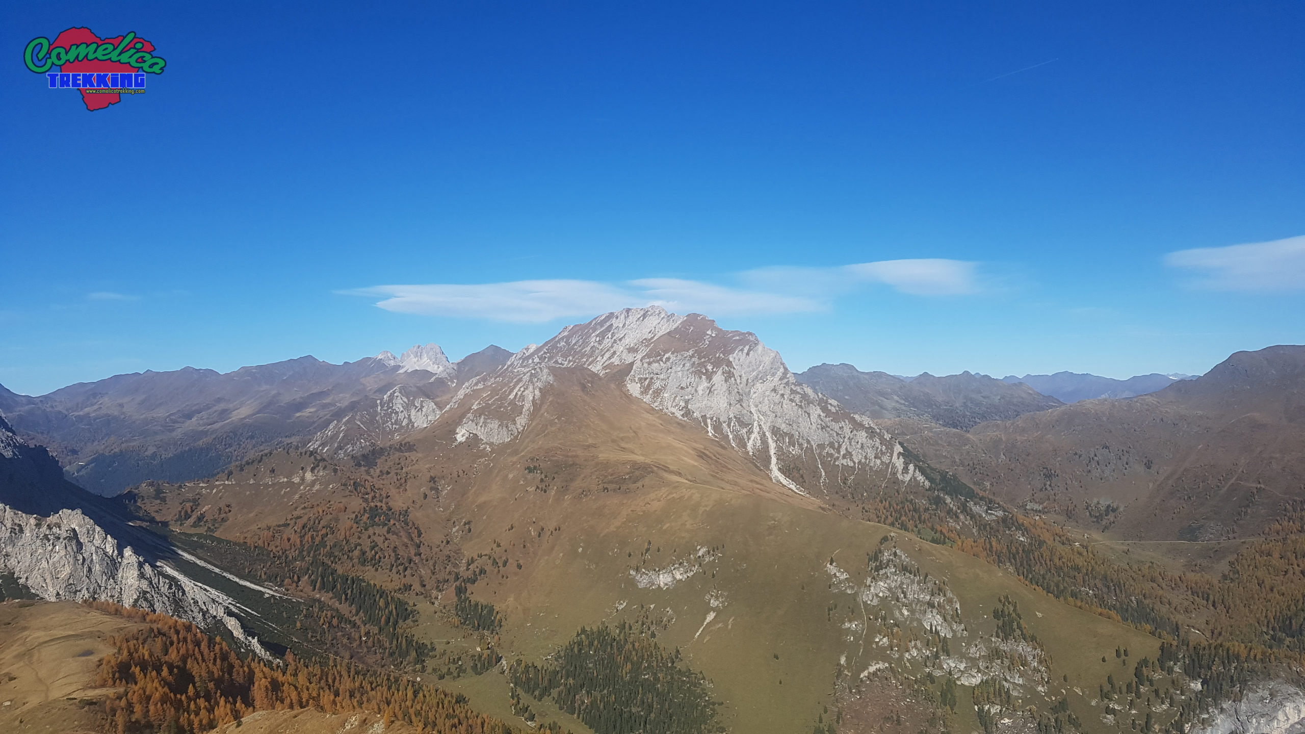
Simple but rewarding top of 2035msl. Central location. Complete card of the mount available here The Forcetta The Mount Curie’ Peak The Mount Curie’ Peak with Snow
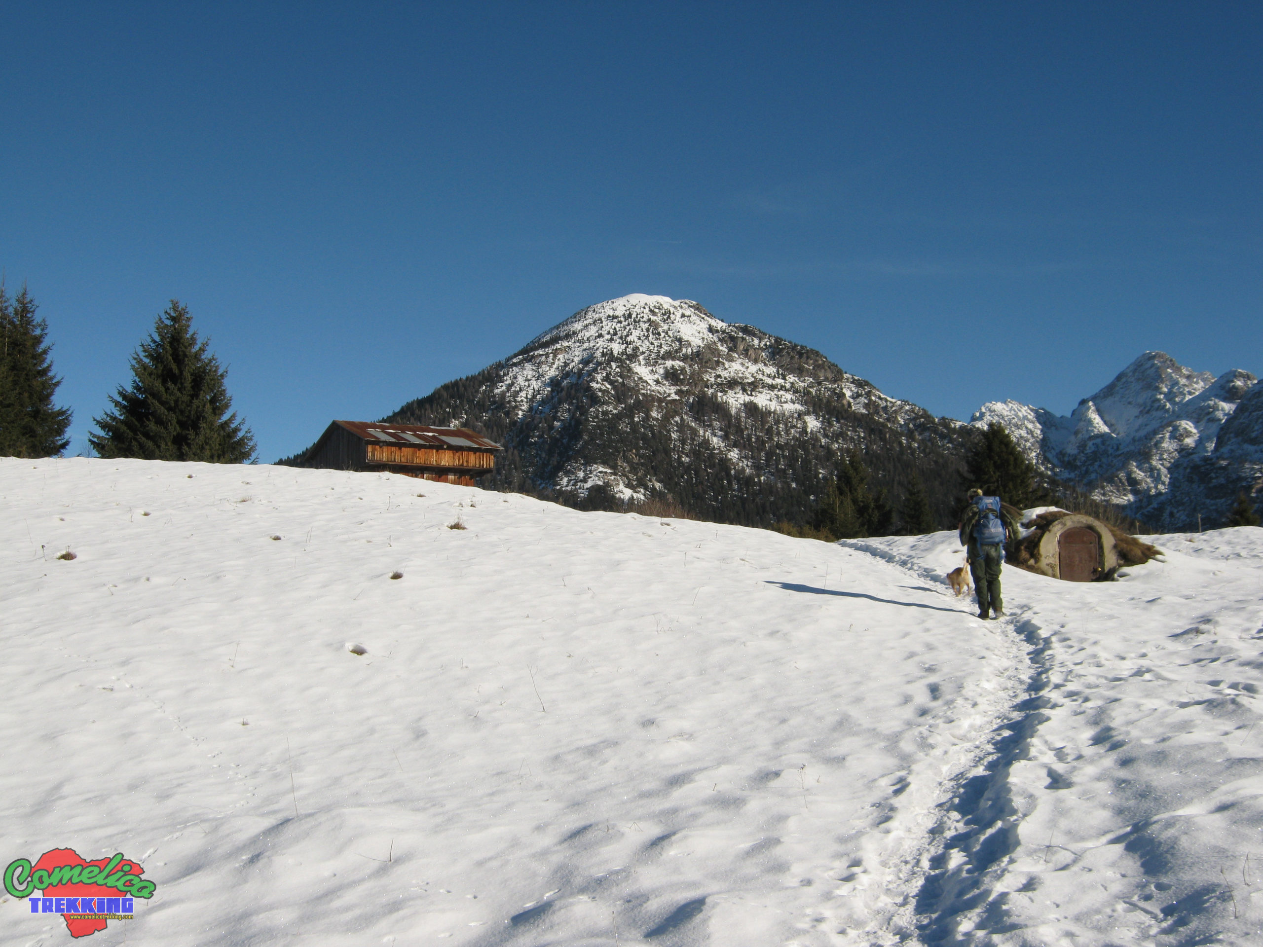
Long tour for aided paths today. I went up to the Fork Dignas by car for the spherical photos then descended to the Hut, where I left the car, I went up the Valley...
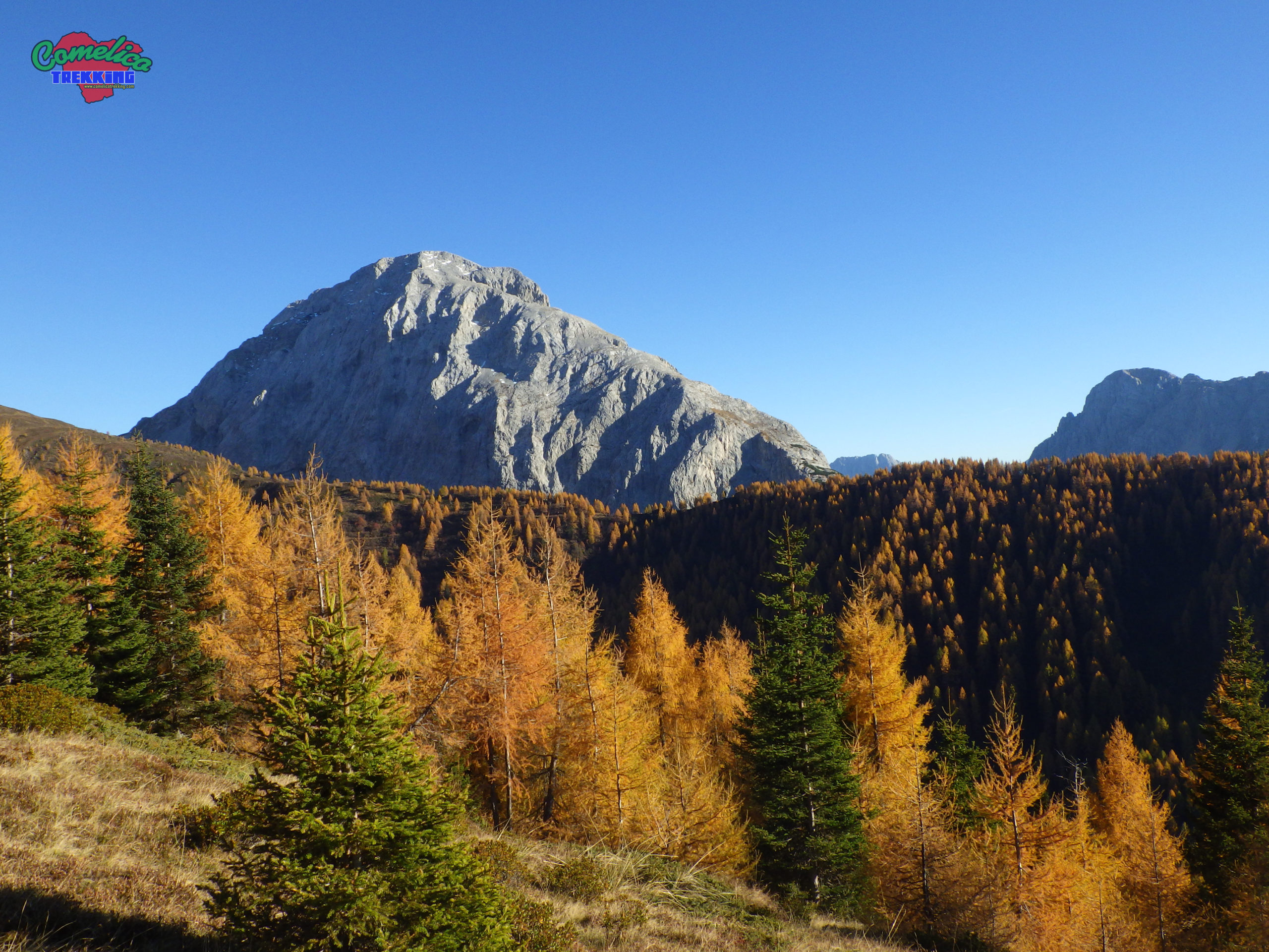
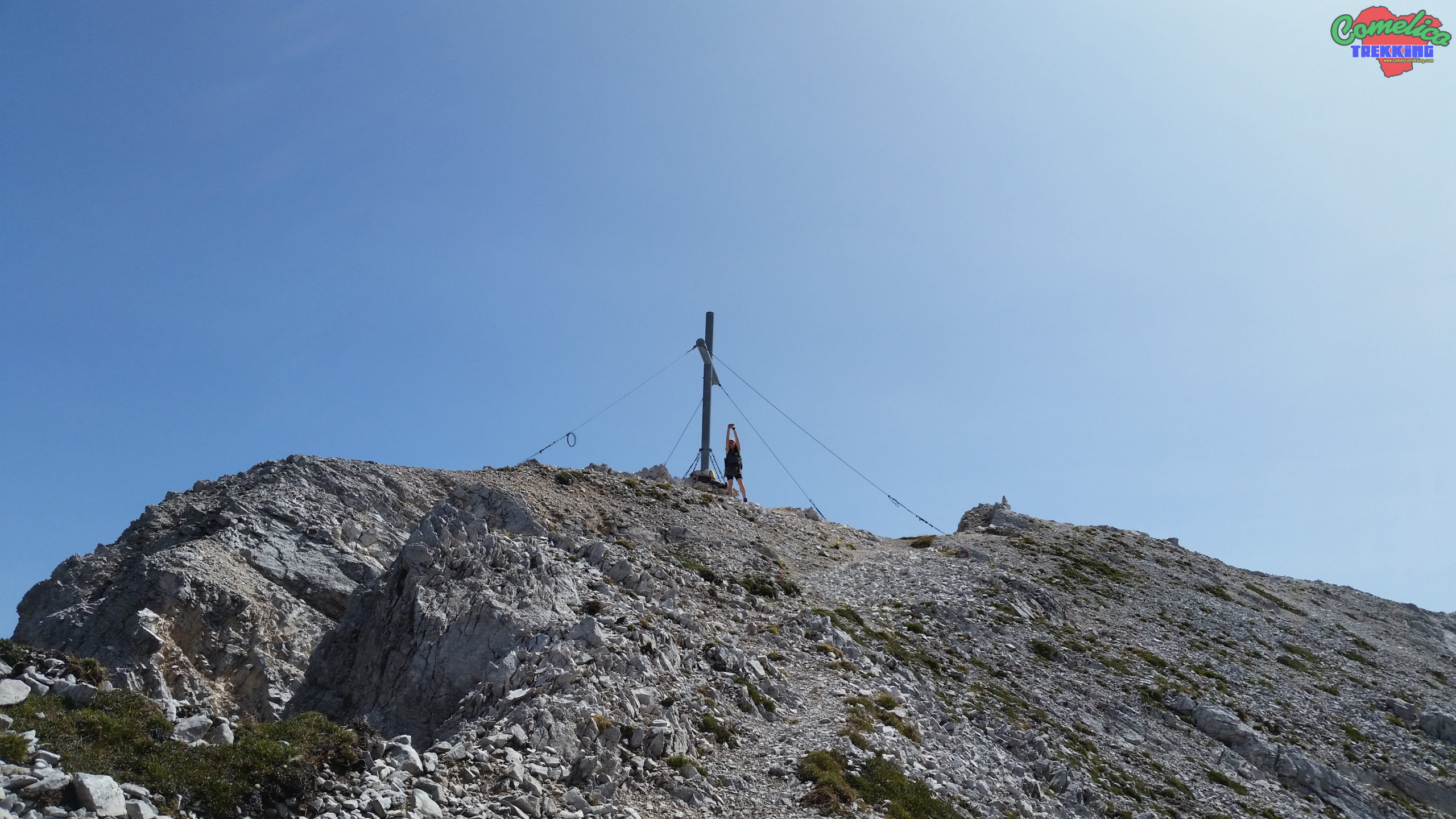
Ascent to Mount Peralba along the normal route dedicated to Giovanni Paolo II with CAI-132-131 simple ascent with some exposed sections in which to be careful. Crowded and very panoramic peak. We went down...
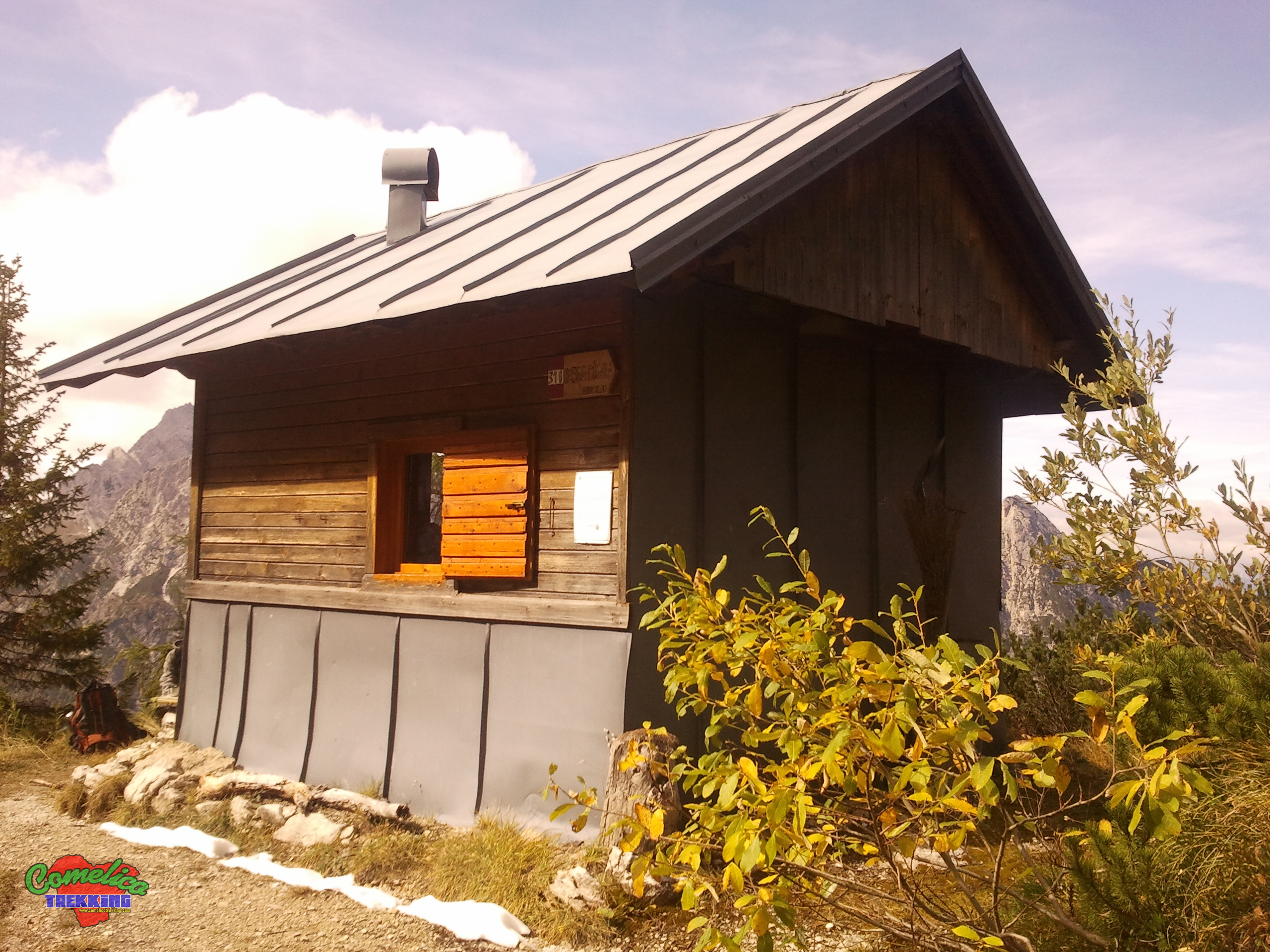
Mount Terza Media, in the opinion of many, is the wildest and most difficult of the Tree Terze. Climb up the CAI path with trail marker 310 which starts from the Cadore-Feltre Alpine Volunteer...

Long tour starting from the Regional 355 for Sappada, go up the Rinaldo valley along the CAI-193 path and taking the Righile fork on the right you go down to the Franza saddle through...