Google Maps – The Mount Palombino Pt.2
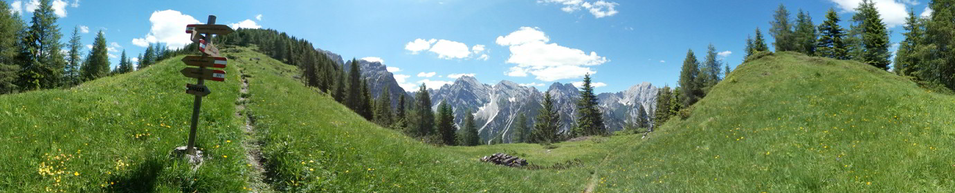
Another appointment in the high mountains in Comelico, this time we return to Mount Palombino along the Ferrata del Camoscio which faces the mountain from its east side. It starts shortly after Malga Dignas...
![]()
..dedicated to those who are not and who can no longer go
Panoramic Photos Added to Google Maps

Another appointment in the high mountains in Comelico, this time we return to Mount Palombino along the Ferrata del Camoscio which faces the mountain from its east side. It starts shortly after Malga Dignas...
Just above the Coltrondo alpine Hut, at the foot of Quaterna’ Hill along the CAI-159 path, we can admire the remains of the Vallo Littorio Military Fort dating back to the First World War....

Today we visit Monte Peralba, the highest peak of the lower Comelico along a stretch of the Carnic crossing. Leave the car shortly after the Malga Chivion and go up towards the Passo dell’Oregone...

Very central mountain that welcomes most of the lower Comelico villages on its slopes. It arrives at the altitude of 1920 MsLdM. Grassy summit overview that can be gained from 3 different routes. Climbed...

Simple loop excursion on Col Quaterna ‘which brought us to the altitude of 2500 meters above sea level of the summit which in time of the First World War was the scene of bloody...

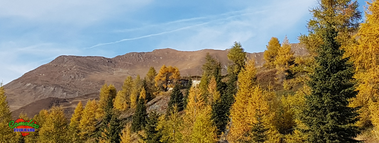
Wonderful autumn day that gave us an easy and equally rewarding excursion. We leave at the Italo Lunelli Refuge in Padola. We go up to the Rock of Colesei along a comfortable cart track...

Long circular walks starting from Val Visdende which took us on a splendid sunny day to travel my favorite Val Cecido. Going up the path without signposting, we reached Malga Cecido where I was...

This Sunday great ride on Mount Cavallino. Alternative departure from Malga Silvella. We go up along the hairpin bends that lead to Silvella Pass until we cross the CAI-146 path which heads east leading...

Afternoon ride along the splendid Val di Antola. Cloudy day almost autumn that gave me two great photos. I then went up the new Costa Bruna forest road. The Antola Valley Visdende Valley –...

Strenuous climb that takes us to 2300 meters above sea level of Crode di Mezzodi, passing through Monte Col. We start from Santo Stefano di Cadore facing Monte Col from its north side starting...