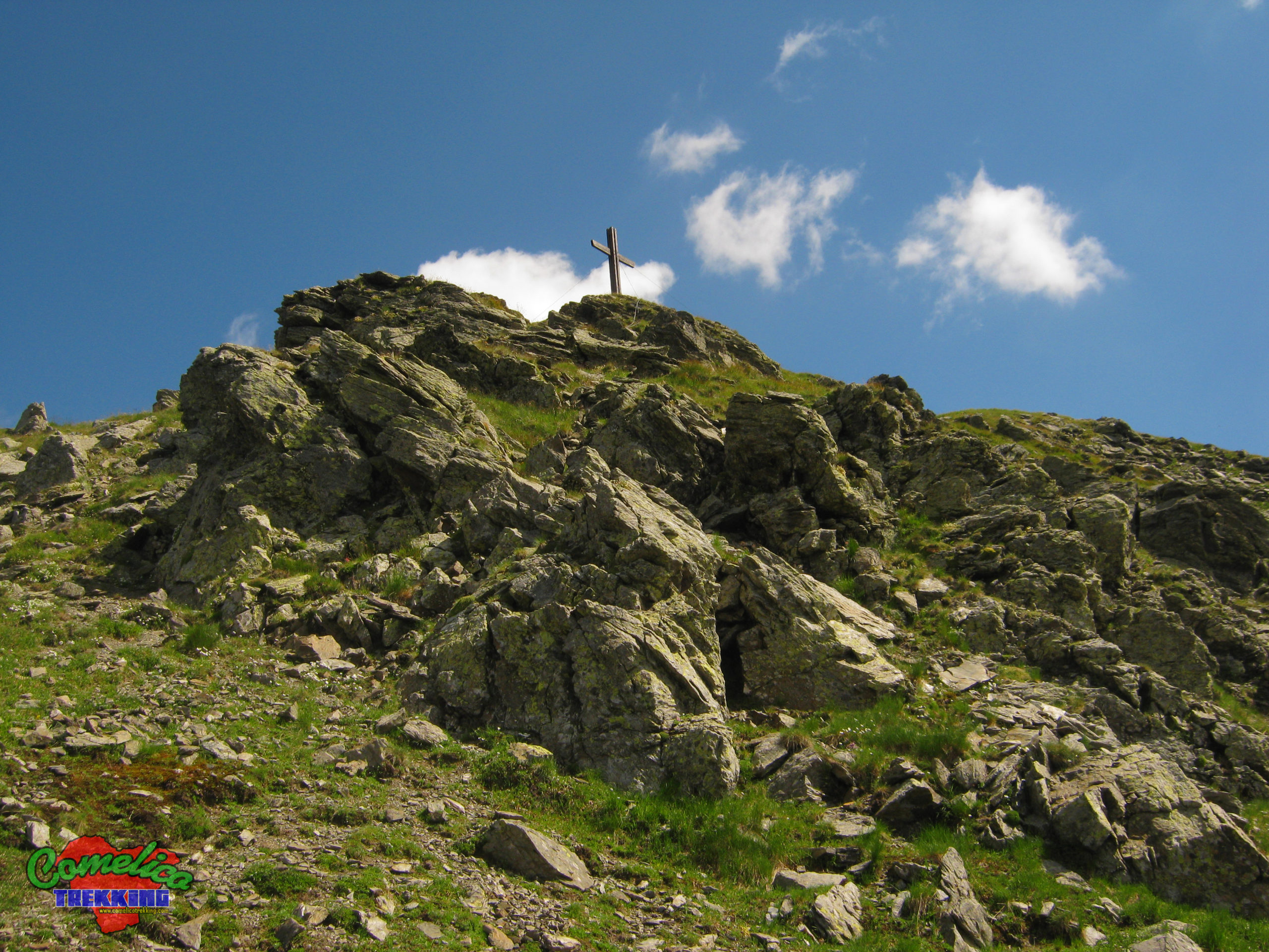
Street View – The Rock over Colesei
Wonderful autumn day that gave us an easy and equally rewarding excursion. We leave at the Italo Lunelli Refuge in Padola. We go up to the Rock of Colesei along a comfortable cart track...
![]()
..dedicated to those who are not and who can no longer go

Wonderful autumn day that gave us an easy and equally rewarding excursion. We leave at the Italo Lunelli Refuge in Padola. We go up to the Rock of Colesei along a comfortable cart track...

Long circular walks starting from Val Visdende which took us on a splendid sunny day to travel my favorite Val Cecido. Going up the path without signposting, we reached Malga Cecido where I was...

This Sunday great ride on Mount Cavallino. Alternative departure from Malga Silvella. We go up along the hairpin bends that lead to Silvella Pass until we cross the CAI-146 path which heads east leading...
This time we went to Mount Vancomun, long but not too demanding excursion. Let’s start from Val Visdende, Costa d’Antola Location. We go up the bed of the Val Carnia stream for path CAI-128...

Afternoon ride along the splendid Val di Antola. Cloudy day almost autumn that gave me two great photos. I then went up the new Costa Bruna forest road. The Antola Valley Visdende Valley –...

Strenuous climb that takes us to 2300 meters above sea level of Crode di Mezzodi, passing through Monte Col. We start from Santo Stefano di Cadore facing Monte Col from its north side starting...

Excellent autumn climb, summit not for everyone with climbing stretch and various exposed passages at the end. Drone videos have also been added. Peak of Mount Terza Media from Drone

First summer release of this 2021 takes me to complete the drone shooting of this beautiful valley and the peak that dominates it. Rocket, Orbit and Pan videos also added. The Little Forks Valley...

Copious update to the mountains overlooking the beautiful Val Vissada. San Daniele New track of the Via Sud with a more scenic route Waipoint of the Ferruccio Casanova equipped path Spherical photo of the...

This time we go to Monte Brentone, the main peak of the homonymous group. Climbed from the not aided via Sud we cut the dihedral to the right until we reach the ridge that...