The 4 Season of Comelico Valley
WINTER Six shots for each season resume the changes of our valley with the passage of time. Made with the drone in some panoramic locations of the lower Comelico. The first: at bottom of...
![]()
..dedicated to those who are not and who can no longer go

WINTER Six shots for each season resume the changes of our valley with the passage of time. Made with the drone in some panoramic locations of the lower Comelico. The first: at bottom of...

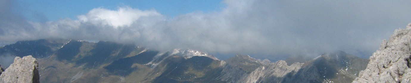
The Cima Mezzana of Val Visdende is located along the mountain range of the Carnic Alps that act as an Austrian Italian state border. It is located in the block of Mountains in a...

Long circular walk that takes us to visit a stretch of the Italian-Austrian border crest, the scene of military movements during the First World War. The area crossed is located almost in the North-West...

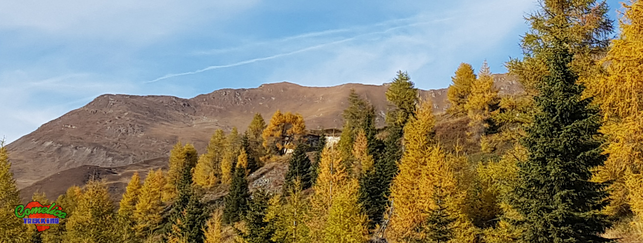
First ‘Summer’ exit of this 2022. Going up along the slopes of Monte Rinaldo, we go to admire the Visdende Valley from a unique angle, that is from its south side. In the final...

Storm Vaia was an exceptional meteorological event that occurred between October 26 and October 30, 2018. On that occasion, the wind speed reached 200 km/h, placing the event on the hurricane scale. In addition,...

Another appointment in the high mountains in Comelico, this time we return to Mount Palombino along the Ferrata del Camoscio which faces the mountain from its east side. It starts shortly after Malga Dignas...
Just above the Coltrondo alpine Hut, at the foot of Quaterna’ Hill along the CAI-159 path, we can admire the remains of the Vallo Littorio Military Fort dating back to the First World War....

Today we visit Monte Peralba, the highest peak of the lower Comelico along a stretch of the Carnic crossing. Leave the car shortly after the Malga Chivion and go up towards the Passo dell’Oregone...

Very central mountain that welcomes most of the lower Comelico villages on its slopes. It arrives at the altitude of 1920 MsLdM. Grassy summit overview that can be gained from 3 different routes. Climbed...

Simple loop excursion on Col Quaterna ‘which brought us to the altitude of 2500 meters above sea level of the summit which in time of the First World War was the scene of bloody...